In Cheyenne River Country, by Brian:  Louise had a potential client for her business, Landscaping with Native Plants, who lived on a ranch 50 miles north of Wall SD. Wall is famous (or infamous) for Wall Drug, signs for which you'll see festooning the landscape for 300 miles in all directions on all paved roads.  North of Wall lie hundreds of thousands of acres of wind-swept prairie, cattle ranches, hay operations, and in the summer, violent thunderstorms.  In the winter; blizzards.  It's ain't for the faint of heart out there. 

The woman lived on a ranch along the Cheyenne River about 40 miles "after the tar ends," as she put it.  So off we went -- just itching for an excuse to get the 4-Runner "off the tar." 

We found the ranch, way out past the hamlet of Creighton, (where they had a huge hail storm and tornado watch the day after we were there) and pulled in.  The ranch house was a small, peaceful place almost on the river bank, shaded by huge Plains cottonwood trees.  The "old place," where the in-laws no longer lived, boasted tulip and lily flowerbeds, lovingly put in and tended by the old lady who now lives in assisted living in Rapid City. 

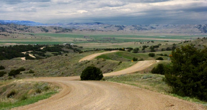
After Louise finished her landscape design sketches, we decided to "meander" back to Rapid City.  So instead of turning right on Creighton road, we went left -- and up over the hill on Pedro Road (someone said it was locally pronounced Peedro). 
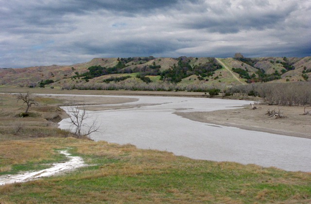
The Cheyenne River North of Wall SD
Road Up Out of the Cheyenne River Bottom

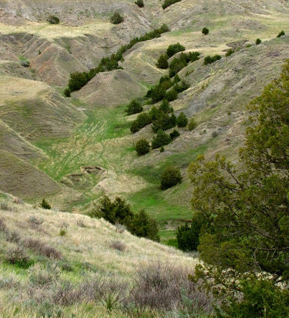
Exploring:  As we hit the top of the first long hill on Pedro Road out of the Cheyenne River bottoms, we encountered a small piece of relatively undisturbed ground -- long ravines home to juniper and other shrubs. These brushy draws provide the best wildlife habitat on these open plains. We had found one of the stretches of BLM (Bureau of Land Management) land out in these parts.

Juniper-Covered Ravines off Pedro Road
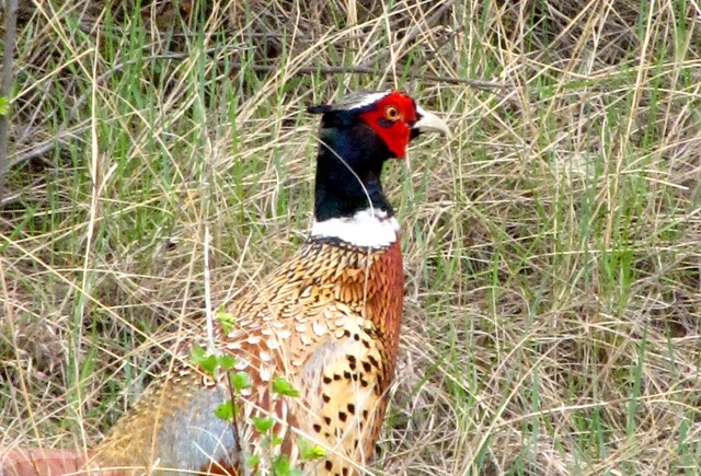
Spring Flowers and Critters:  Skulking off the side of the road was a "ring neck" -- otherwise known as a pheasant.  He was trying to stay out of our sight while, at the same time, trying to attract hens with that beautiful red eye patch. 
A Pheasant Rooster Skulks in Roadside Grass
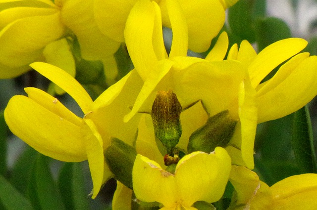
While the land all around us had been reduced to hundreds of thousands of acres of essentially a beat-down, grazed-out mono-culture of non-native smooth brome grass, the ravines still held a small vestige of the native grasses like little bluestem and buffalo grass and plants that once covered the entire short grass prairie.  One of the first dramatic ones we encountered was a large area of golden pea. 
Golden Pea (Thermopsis rhombifolia)
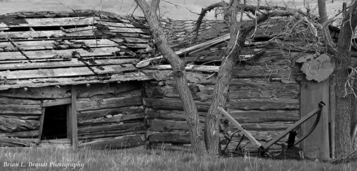
As we left the first ravine area, we again topped out on some ranch land that was a virtual desert in terms of wildlife and native plants.  A few birds plied their trade along the road, but virtually nothing but a few cattle were visible from horizon to horizon.  There was mute testimony to how tough it is to scratch a living out of this country.
Homestead Cabin That Has Seen Better Days
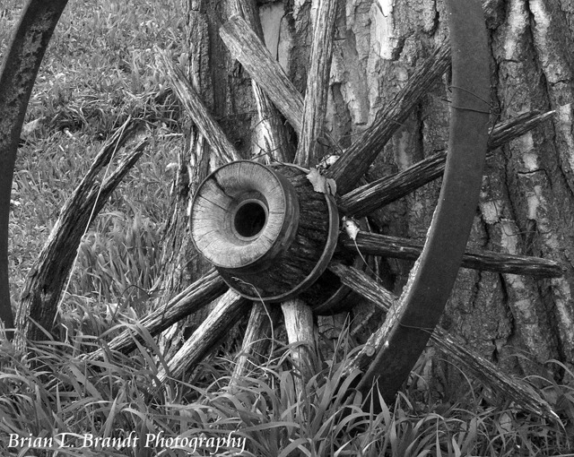
Old Wooden Wagon Wheel Rests on a Cottonwood
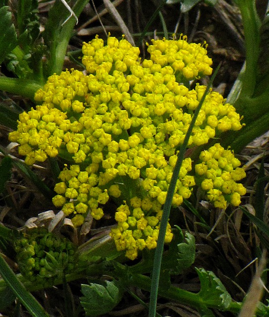
Farther along the road, we encountered another small oasis of BLM land where the native plants were still thriving -- and on the ridges, they were growing close to the ground to keep their little heads out of the scouring wind.
Desert Biscuitroot (Lomatium foeniculaceum)
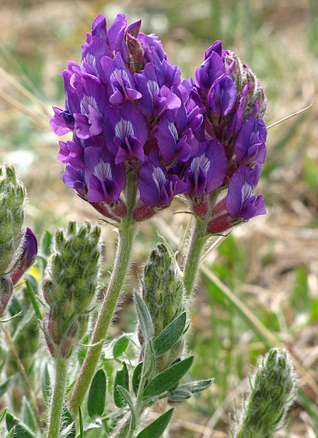
Plains Milkvetch (Astragalus gilviflorus)
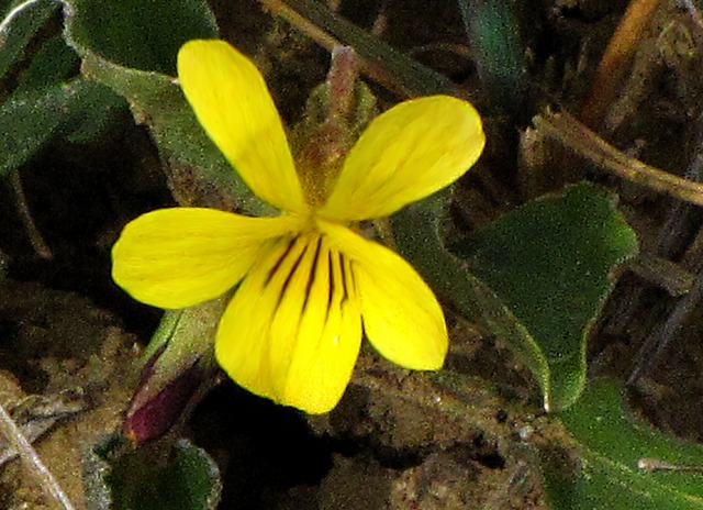
Nuttall's Violet (Viola nuttallii)
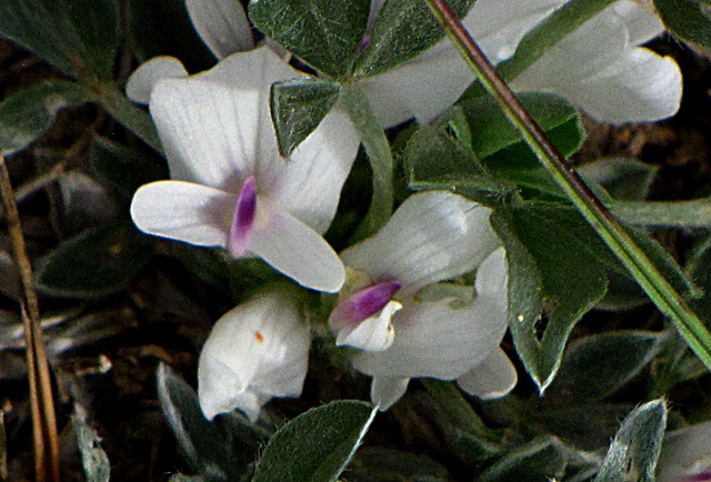
Purple Vetch
Purple Vetch
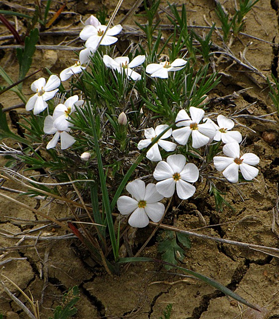
Hood’s Phlox (Phlox hoodii)
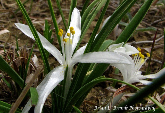
Star Lily (Leucocrinum montanum)
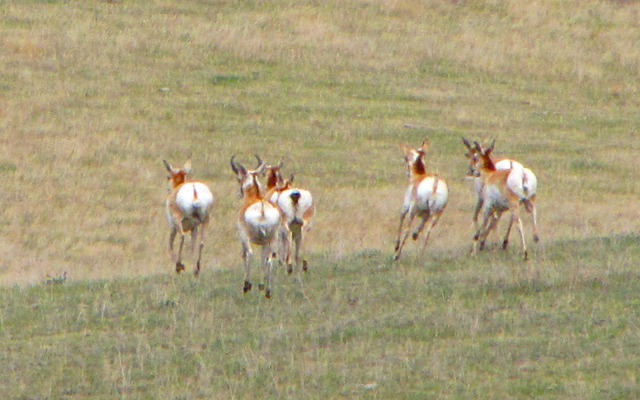
As we pulled away from the BLM land, we spotted the first game we'd seen (other than the pheasant) in 60 miles -- some wary antelope.
West End of Rapidly East-Bound Pronghorn (Antelope)
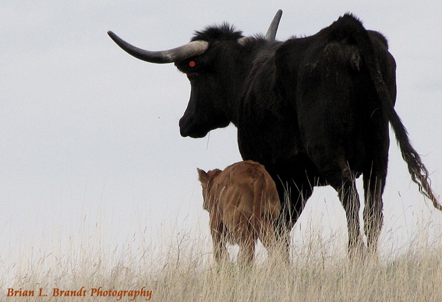
A little farther along, just before we dropped off the plateau and down onto the flats to the Bad Lands, we saw a herd of longhorn cows with new calves.  The mothers were spooky, as might be expected, and didn't hang around for much in the way of a "photo op."   The longhorns are tough and well-suited to this country, but they are still amateurs at survival compared to the bison that used to inhabit the area.
Longhorn Cow and Calf

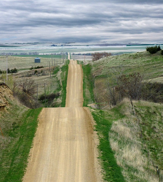
We wandered to Big Foot Road, gravel that led us straight (literally) into Badlands National Park and Big Foot Pass.  That journey is in the next post of this trip.

Looking South on Big Foot Road Toward Badlands National Park SD
 

Text and Photos by Brian Brandt. All text and photos copyright 2011 -- Goin Mobyle LLC.


Comments

Message*
Name*
Email*
* Required
Send Message