New Day in an Old Burn or the Battle Creek Fire Revisited in the Black Hills National Forest SD

Trip: Battle Creek Fire in the Black Hills National Forest SD
Battle Creek Forest Fire:  9 August 2009 -- We decided to take a little spur-of-the-moment drive around the Black Hills National Forest to see what we could see -- and find the end of an old two-ruts-through-the-grass road we'd found earlier in the year. Then it was impassible without doing some resource damage. One of the U.S Forest Service management tools is seasonal closures of such roads; you can obtain a detailed travel map at any Forest Service office. Don't leave home without one!  On this hot summer day the roads were open and reasonably dry. 

We struck out into the 2002 Battle Creek Fire burn area -- another terrible legacy from the drought years.  This fire burned for thirteen days and scorched 13,700 acres just south of Rapid City.  The fire jumped US HWY 16 and caused closure of several major roads in the area. Lab analysis of the soil at the site where the fire started indicated that lighter fluid was used to help trigger the blaze, investigators said.  No one was ever convicted of starting the fire.

South Rockerville Road and Rocks:  So off we went south on US HWY 16.  In Rockerville, we turned south on Pennington County Road 233 (South Rockerville Road).  Along the way, we passed through rolling hills and narrow canyons that are always full of interesting miniature scenes.

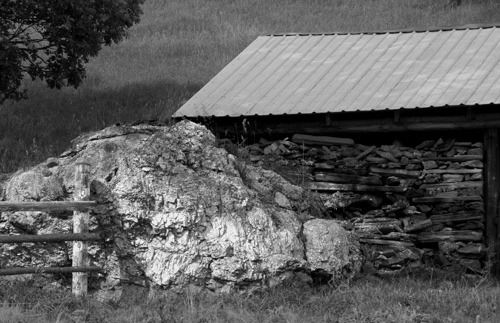
Granite Boulder, Fence, and Wood Shed on Pennington County Road 233 (black and white)
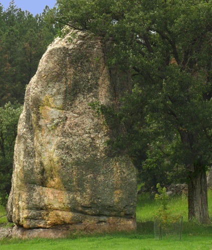
Monolith and Tree on Pennington County Road 233
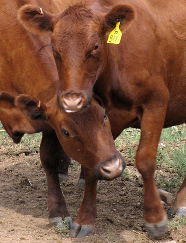
Red Angus Cow Scrum
Red Angus Cow Scrum
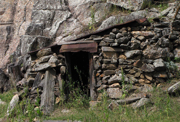
Entrance to an Old Mine on Pennington County Road 233
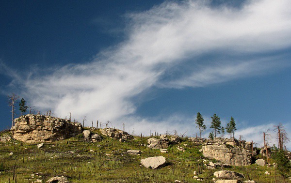
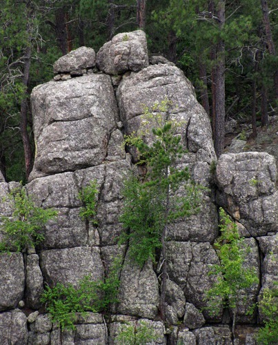
 We also found rock formations that had been hidden in the trees for decades and were now revealed in all their sculptural glories.
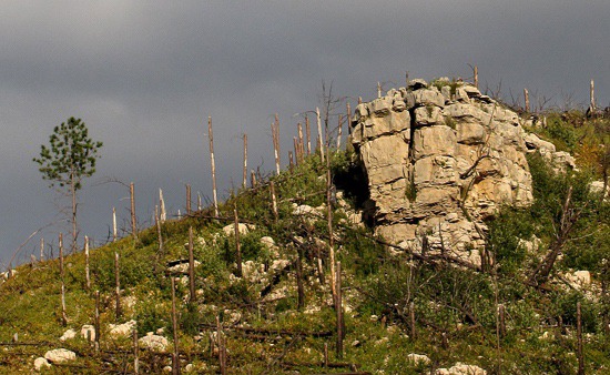
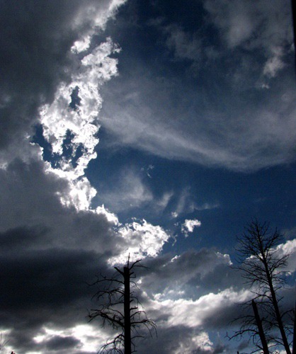
Cloud Sweep Over Burned Ridge on Pennington County Road 233
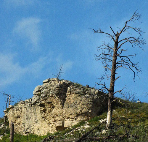
Cliff and Dead Tree on Pennington County Road 233
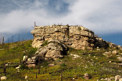
Limestone Cliff Castle on Pennington County Road 233
 Black Hills National Forest Road 372 and Flowers:  Heading, as usual, for gravel, we turned east on Black Hills National Forest Road 372 into the heart of the burn area.  Here, of course, nature's resurgence was amazing. The pine-beetle killed trees had been swept away by fire and replaced by lush grass and a profusion of flowers -- a beautiful demonstration of the centuries-old cycle of life in the forest.
Limestone Cliffs and Surviving Tree Line on Black Hills National Forest Road 372
Rock Face and Pine Survivor Black Hills National Forest Road 372
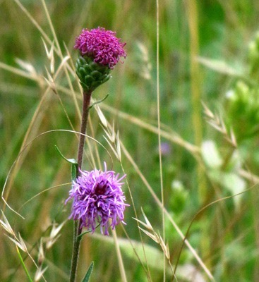
All manner of flowers were flourishing in the aftermath of the fire. Fire is a vital part of the life cycle of these plants; adaptations include the requirement of high heat to germinate and ability to grow in the ashy acid soil left after the fire. 

Fire opens up the forest floor to life-giving sunlight, and the plants respond! Our understanding of forest ecology has certainly matured since the days when we were kids, and forests were managed as tree farms and hunting plantations.

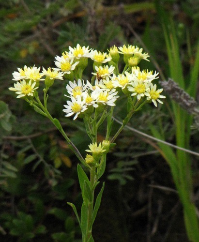
Daisy Fleabane (Erigeron strigosus) along Black Hills National Forest Road 372
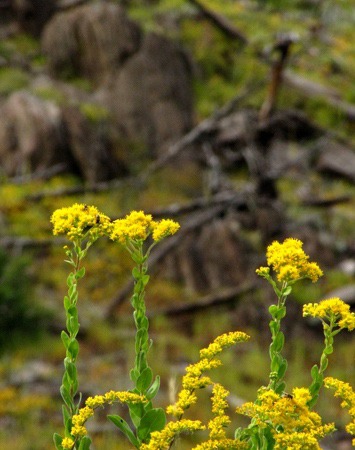
Stiff Goldenrod (Solidago rigida) Against a Hillside on Black Hills National Forest Road 372
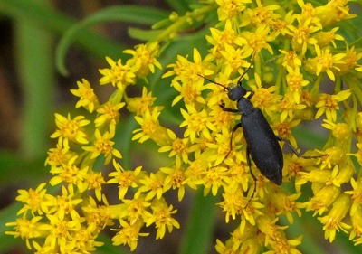
Beetle on Giant Goldenrod (Solidago gigantea)
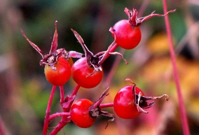
Rose Hips
Rose Hips
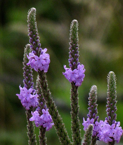
Woolly Vervain (Verbena stricta)
Wild Bergamot or Beebalm (Monarda fistulosa)
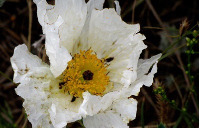
Crested Pricklypoppy (Argemone polyanthemos)
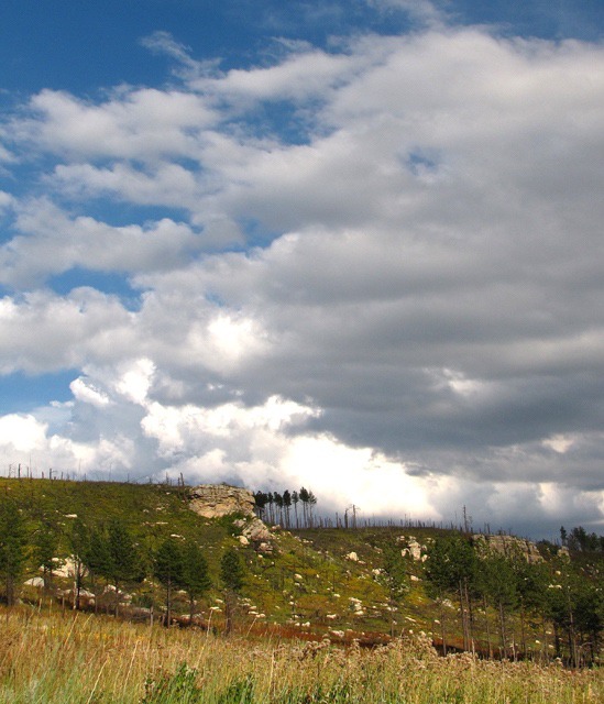
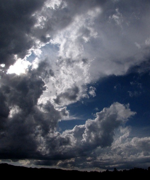
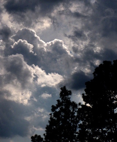
About mid-afternoon, a Black Hills thunder squall started to roll in.
Storm Edge
Storm Edge
Afternoon Storm
Afternoon Storm
Storm Swirl
Storm Swirl
Black Hills National Forest Road 718 and Killer Wasps:  The storm blew over after cooling the air down considerably, and we struck out into another part of the burn on Black Hills National Forest Road 718. 

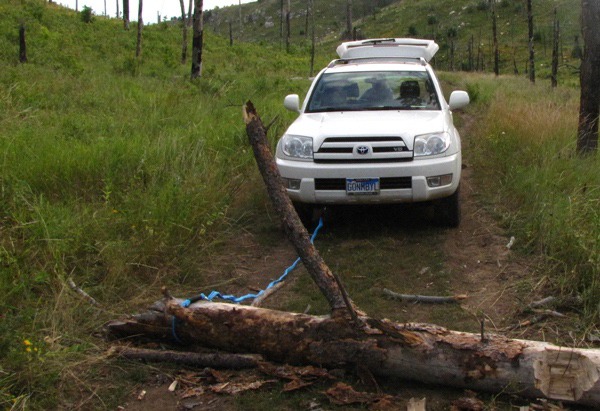
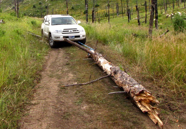
We make a habit of the road less traveled, of course, and in some cases, it's the road that "hasn't been traveled in a while" -- which leads to some opportunity for axe and tow strap.

Road Block Log on Black Hills National Forest Road 718
Road Block Log Swings Open on Black Hills National Forest Road 718
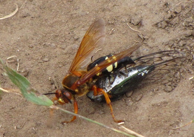
At one point, I was standing in the road while Louise sought some plant she'd spotted from the rig in a nearby meadow. I heard a very loud whir of wings. It sounded ominous, and would have been severely so in the right circumstances. And if you were a cicada, it was curtains.
Cicada Killer Wasp (Sphecius speciosus) in Action
I beat a measured retreat in the face of this three-inch long monster. Then I noticed the large holes the Cicada Killer Wasp (Sphecius speciosus) had bored in the loose dirt of the road -- a network like a badger would establish and maintain. Truly a top predator in the insect world! 

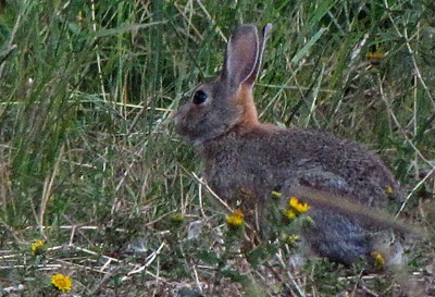
The Way, Way Back:  As the cool air started to circulate through the canyons and evening set in, some of the crepuscular woodland creatures started to stir.

Mountain Cottontail (Sylvilagus nuttallii) Bunny in the Brush
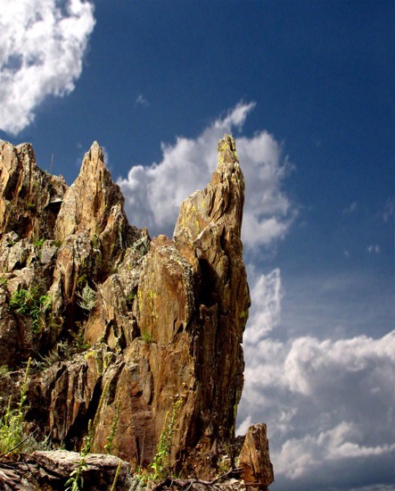
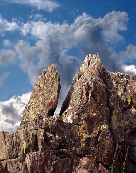
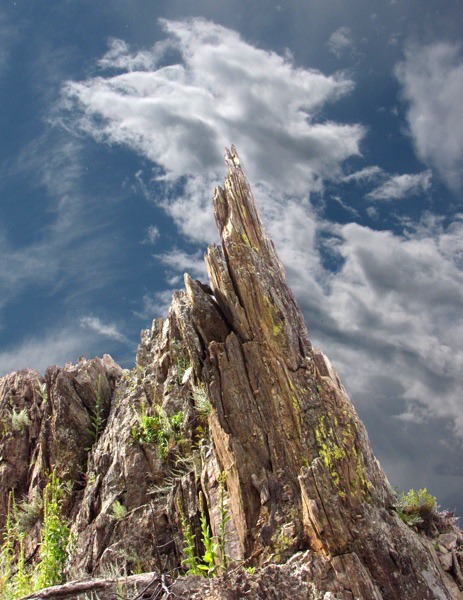
We drove a little further on, and around the bend of a "side road" -- which basically meant it was on the map but not on the ground much -- we discovered a rock sculpture garden. It was an impromptu museum of natural sculpture and breathtaking in its variety.
Rock Outcrop and Sky 1
Rock Outcrop and Sky 2
Rock Outcrop and Sky 3
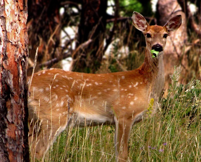
We drove back toward the paved road after an all-day adventure on two tracks through the grass. Dusk settled in and a few more woodland critters emerged.
White-tail Fawn (Odocoileus virginianus) Eating a Leaf
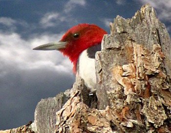
Red-Headed Woodpecker (Melanerpes erythrocephalus)
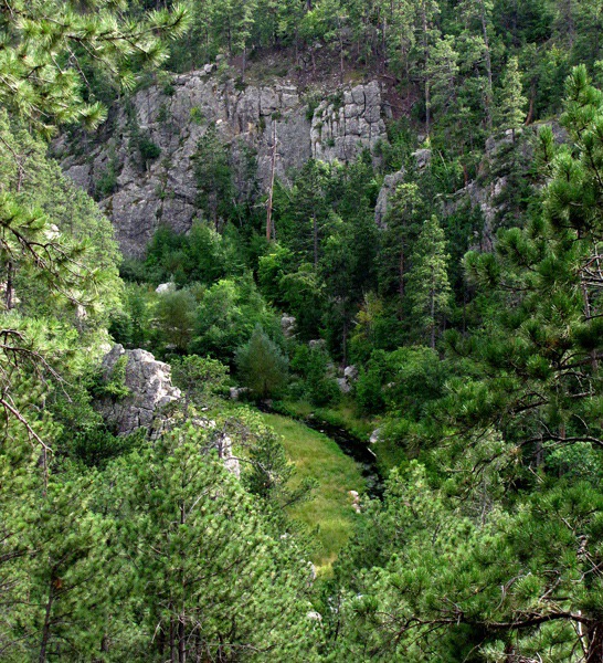
Battle Creek:  We rounded a corner where we could look down into a canyon bottom where Battle Creek meandered through the rocks.
Canyon Overlook to Battle Creek
Canyon-Side Leaning Stone Lovers
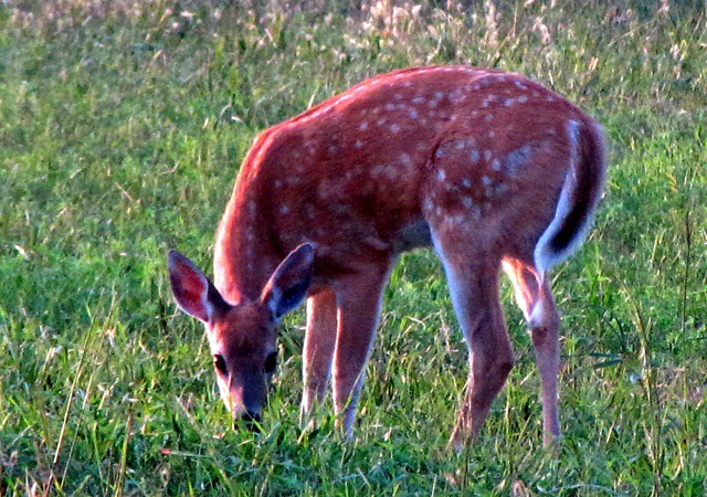
Before we found pavement again (Pine Grove/Gregg Road), we saw a few more animals starting to emerge into the cool evening and lush grass.
Feeding White-tail Fawn (Odocoileus virginianus)
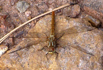
Quizzical Four-spotted Skimmer Dragonfly (Libellula quadrimaculata) on Roadside Rock
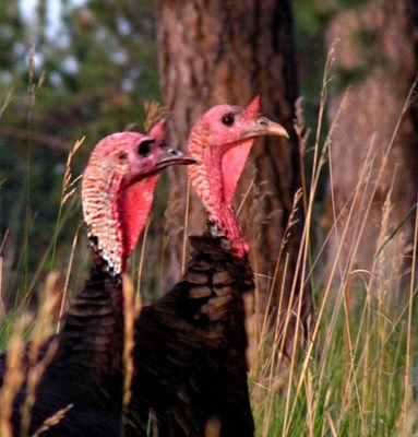
Wild Turkeys (Meleagris gallopavo) at Dusk
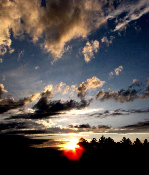
And to top off the day, we got treated to a great sunset. Another amazing day in the Black Hills.
Sundown in the Black Hills National Forest SD
Brian and Louise with Photos by Brian. Text and Photos copyright Goin Mobyle LLC. 2009

Comments

Message*
Name*
Email*
* Required
Send Message