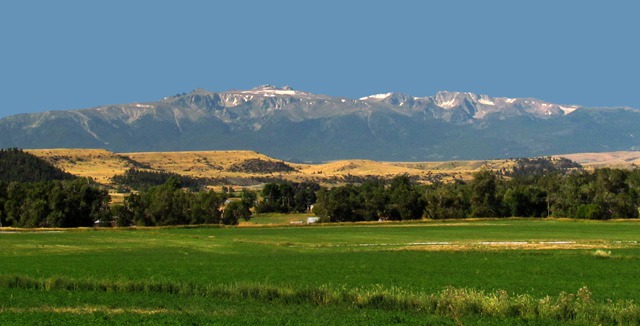
Stillwater River: It was one of those very rare "not a cloud in the sky" days in western Montana -- normally the mountains kick off their own cloud cover by 11:00 am or so. We clearly had picked the right day for the drive. When I was the Forest Service trail crew foreman in the Absaroka/Beartooth Wilderness back in the late '60's, you could set your watch by the 3:00 pm thunderstorms. But not this day.
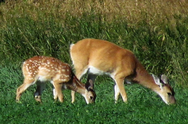
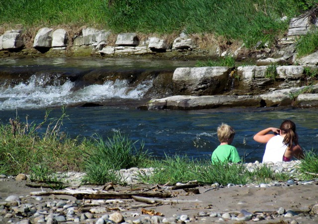
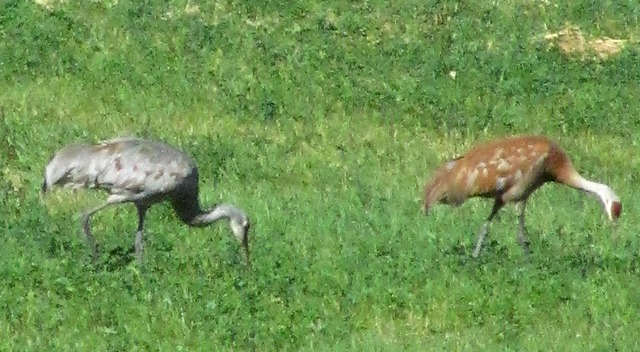
We decided to explore two public access fishing sites and started seeing pairs of things: a pair of white tail deer, a pair of kids along the Stillwater, and a pair of sandhill cranes working a field.
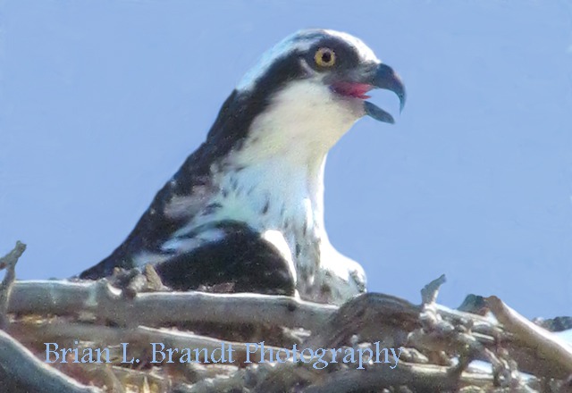
On the way out of one of the access roads we spotted a young osprey making it widely known that he or she expected a fish delivery from the Stillwater at any time.
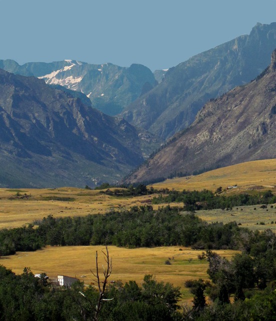
The drive along the Stillwater is a worthy aesthetic experience by itself. It is a beautiful valley.
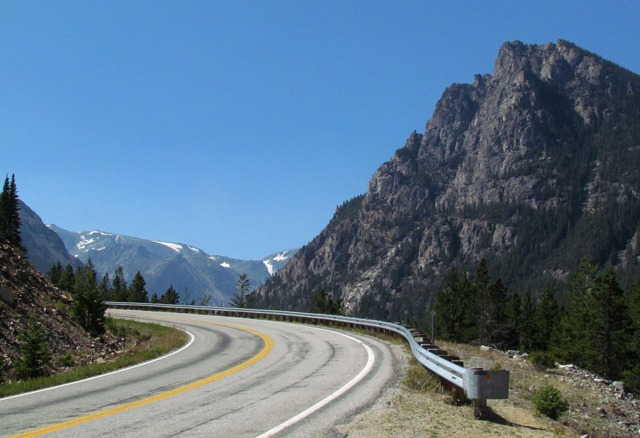
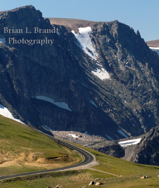
Beartooth Highway: After we passed through Red Lodge, which used to be a quiet small town but now has about a 10-mile radius of suburbs, we started the climb up out of Rock Creek and onto the switchbacks that carry you to the top of the Beartooths.
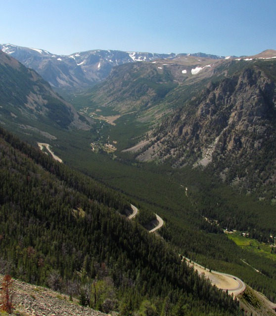
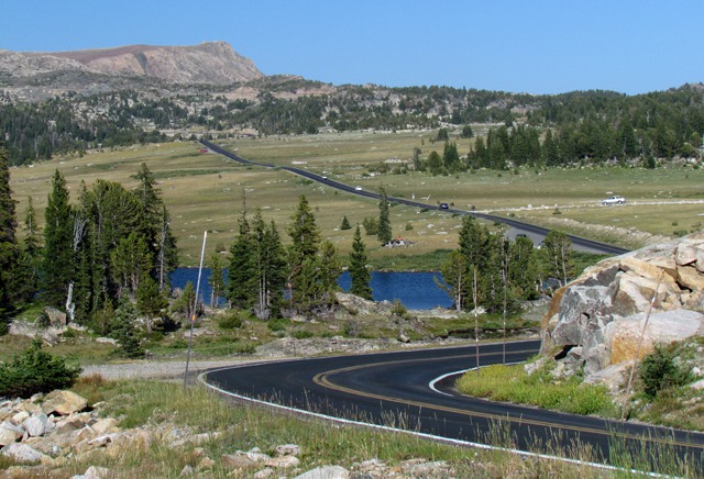
From any number of the switchbacks on the way up the vast ridge, you can look back and see the switchbacks you have just navigated.
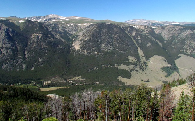
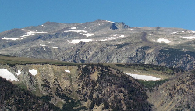
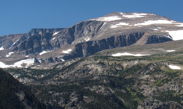
When you are almost to the top, there's a very nice "formal" overlook with toilets and a large parking area. It's a great place to look back at where you came from Red Lodge, and a chance to take in the sweeping vista of the Beartooth Plateau across the canyon.
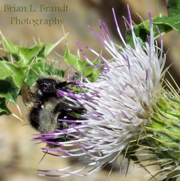
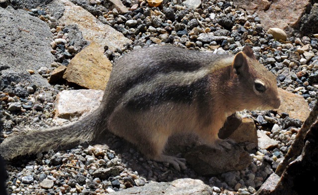
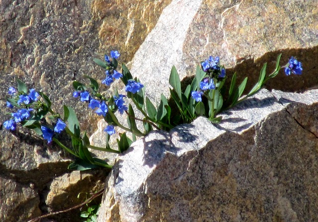
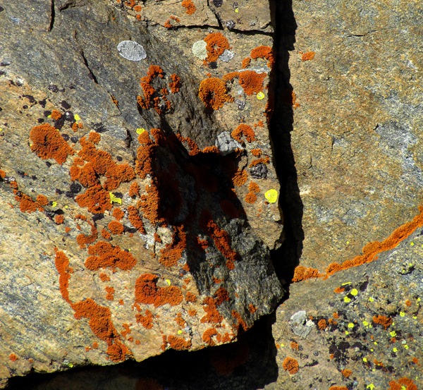
Life thrives even above 9,000 feet!
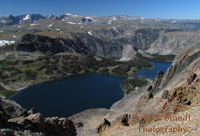
As you leave the Overlook, you start up a canyon on the back side of the ridge toward the eastern summit of the highway. Over the precipitous drops are a scattering of mountain lakes far below.
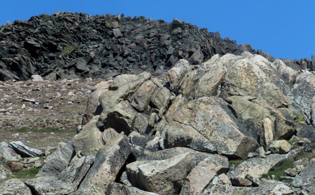
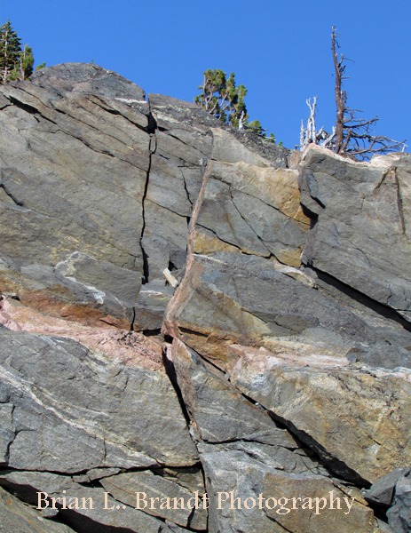
On the other side of the road, boulder piles of every description dot the plateau on top.
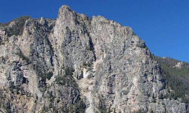
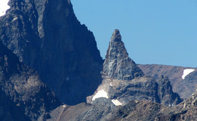
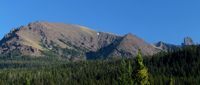
And yes, there is a Bear's Tooth Spire in the Beartooth Range, elevation 11,612 feet. It's near Granite Peak, the highest point in Montana,
elevation 12,807 feet, which would be out of the picture to the right. Beartooth Plateau: Up there well above timberline, life takes footholds where it can find them.
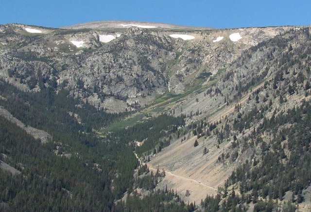
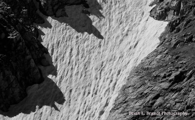
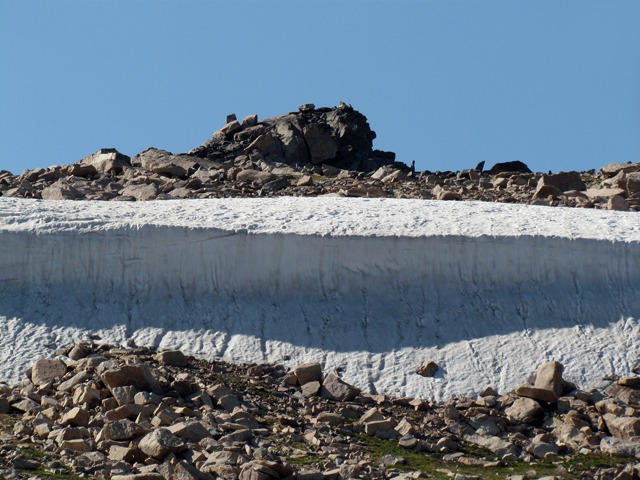
We were a little surprised at how little snow was left on top compared to the 20 feet that was showing in photos from friends who were on the pass in July. Of course, Rock Creek in Red Lodge was running at June levels when we went through there, so it came off in a hurry when it decided to melt. Drifts were left only in the protected areas on north slopes.
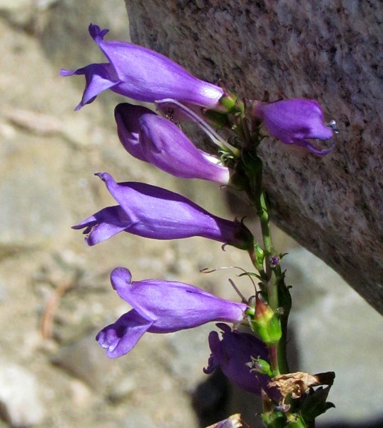
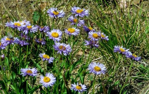
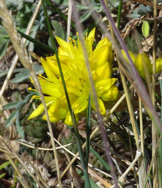
One thing about having "snow off" in early August is that the flowers on top still had some life left in them.
The road actually "summits" twice -- there's an east and west summit. Between the two, the road crosses a broad plateau of rock and scattered "low to the ground" vegetation. There are also a fair number of marmots and pica up there, but we didn't see any when we had the camera handy.
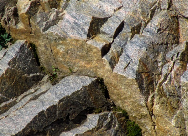
There are two focal distances on top -- way off to the far horizon of peaks and lakes, and right at your feet for small "art" objects that are scattered everywhere if you have an eye for that sort of thing.
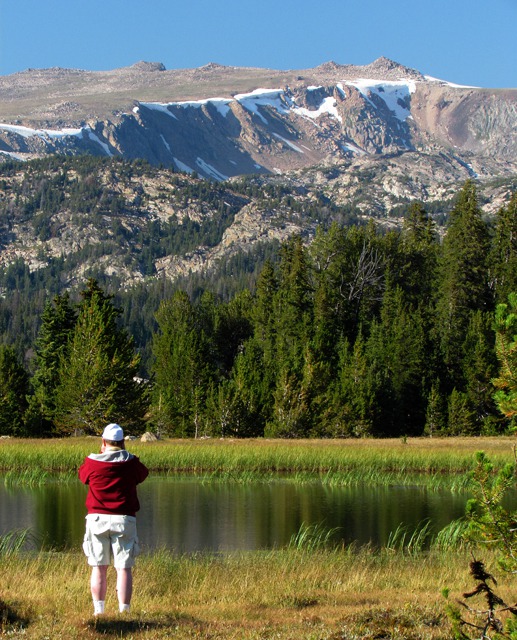
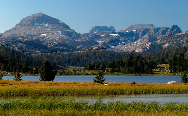
As we came down off the western summit, we passed a series of roadside lakes that included Twin Lakes, Frozen Lake, Long Lake, Little Bear Lake, and Island Lake. Allen hopped out and took a shot across a slough at the end of Island Lake looking across at the ridge beyond.
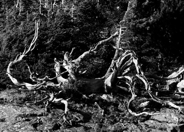
On the plateau around the lakes, you encounter all manner of above-timber-line tree shapes.
The sun was behind the iconic Pilot and Index peaks when we dropped off the top past the Sunlight Basin road, so we didn't stop to photograph them -- they were pretty much gray shapes against a light blue sky -- be there in the morning or earlier in the day to get good photos of those two -- and worth it.
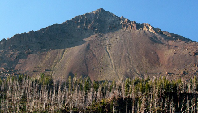
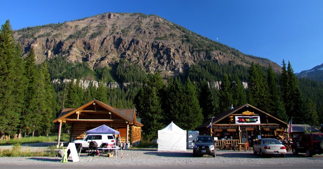
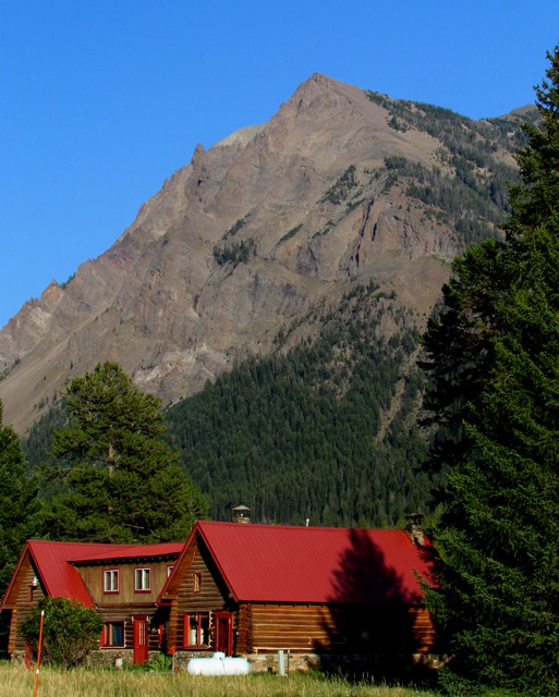
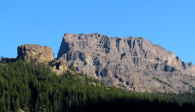
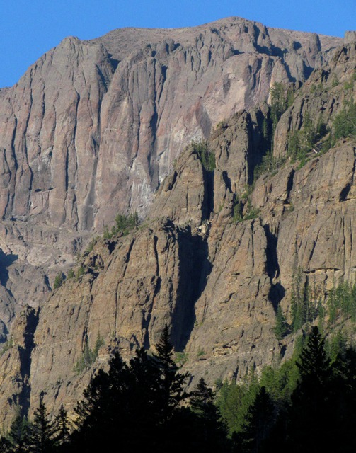
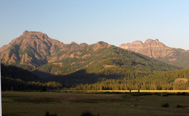
Cooke City MT: But coming down into Cooke City and Silvergate, the light was great looking back toward the east -- the peaks around those two small communities are spectacular when the light is right.
In Silvergate, a restaurant had BBQ going in the parking lot, and a guitarist on the porch. We had packed a big lunch and still had half of it left, or we'd have been all over the "Q" -- it smelled great.
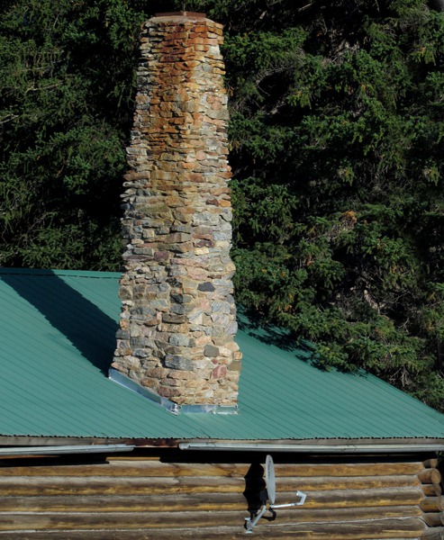
I love the juxtaposition of this old hand-laid chimney and the satellite dish in Silvergate.
When I worked on the Gardiner Ranger District, which included Cooke City, I knew the names of most of the peaks around that area. All gone from the memory banks now. In college we used to stay in cabins at Silvergate and cross-country ski in the Lamar - slept out in snow caves -- the whole 9 yards. Not so much now. But I'd still love to go stay in the cabins there.
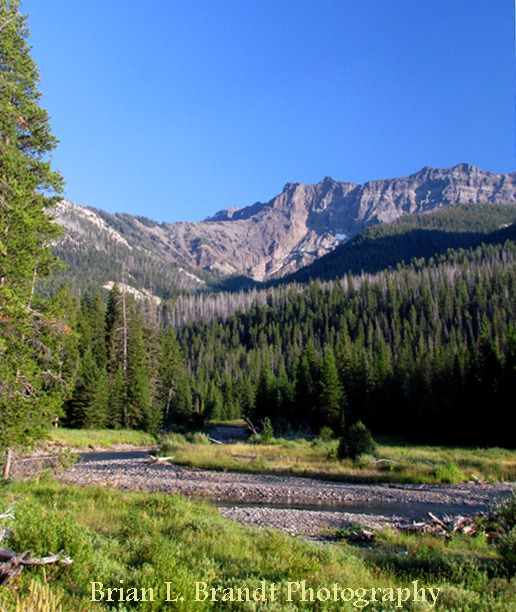
Whenever we went to Cooke City on project work, I used to take my fly rod and fish Soda Butte creek not far from where this photo was taken. "Back in them days" there were always a few moose hanging out in the willows in that area. And the occasional grizzly, although I didn't encounter the bears -- but I made dozens of wide berths around the moose.
The road from the Lamar Valley to Cooke City, if you want to photograph it, is an all-day, two-way deal. In the morning, the sun hits the peaks, like Barronette Peak (spectacular with hundreds of waterfalls in the spring) on the west side of the road and in the early evening, all the peaks on the east side get hit with amazing light.
Lamar Valley and Wildlife: In the Lamar Valley, just before Soda Butte Creek dumps into the Lamar River, we encountered "Wolf Jam" -- about 200 cars and a myriad of people with spotting scopes, lawn chairs and coolers spread for about a quarter mile along the road watching what we assumed was the Lamar Wolf Pack over in the timber on the far side of Soda Butte Creek.
Rangers were trying to direct traffic as people stopped in the middle of the road and hopped out or pulled into half-car parking spots leaving half their car in the road. The rangers seemed to be taking it all pretty much in stride. It took us twenty minutes to clear that 1/4 mile. Glad to see folks appreciating the wildlife and the habitat.
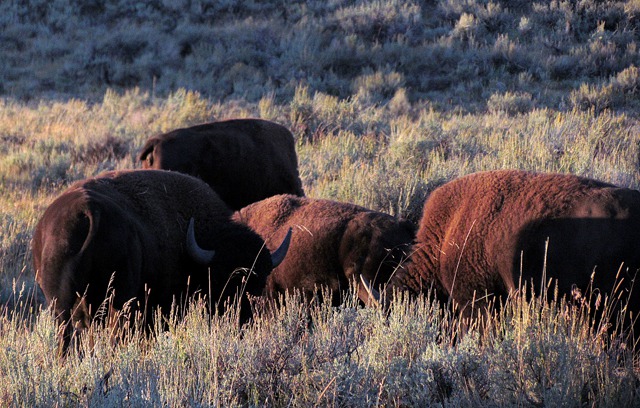
On the other end of the Lamar, we enountered "Bison Jam" -- around 100 head in a small herd who had decided, as they are wont to do, to cross the road from one patch of sage to another. There were only about 50 cars in that jam, held up by a car from Connecticut whose driver was a little unsure about how to (or whether to) navigate the dozen or so bison that were in the road at any given time.
I passed the Connecticut car, took the lead and gently forged ahead, and soon the other cars followed suit. The bison, if they even noticed, didn't show their cards.
And there you have life in a nutshell -- wolves and bison keeping the balance. Bison eat the vegetation, keeping it strong and healthy as it rejuvenates. And wolves eat the bison as they become too old, weak, or sick to escape.
Although there were a number of elk in and around Mammoth when we got there, the photography light was pretty much done.
Gardiner MT: So we went on in to Gardiner to look for something to eat. When I worked for the Forest Service out of Gardiner, there was a burger joint next to the Ranger Station run by a woman named Helen, who chain smoked and ran tabs. The Corral was often the only place in town to get something quick to eat.
She was helped by her son Steve, who now runs the joint, going back to 1960. It's as much an experience as it is a drive-in.
As Steve runs it, it's light-years more amenable than it was back in the '70's, but you may be shocked at the high prices.
However, you'll get a nice big, tasty greasy burger served by girls (at least when we were there) who had English as a second language, and were in "I'm just in Yellowstone for the summer" mode trying to give some measure of customer service. We left stuffed and happy.
Text and Photos by Brian. Text and Photos copyright of Goin Mobyle LLC. 2011.


