A Long Second Day on the Prairies, June 2011: The first day we discovered the Minnesota River Valley Scenic Byway and only made 150 miles the entire day. That left us in Marshall MN at the AmericInn, where we found after the fact (fyi) that they take bikers and pit bulls but not sweet, furry, well-behaved cats.
The beds were good, and a nice breakfast came with the room.
After breakfast, we loaded Sassy, our new Porta-Cat, and headed for Rapid City SD amid threat of more (and seemingly incessant) rain. Our previous and dearly loved Porta-Cat, 21-year old Leesha, died last August.
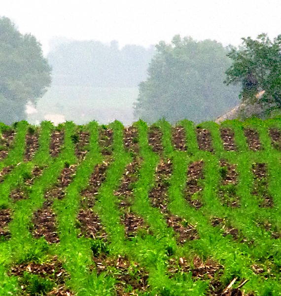
Northern Tallgrass Prairie National Wildlife Refuge: We rolled along MN HWY 19 through what could be categorized, at least on this day, as the "corn into the mist" highway. There was a lot of both.
We were driving with the wipers on "intermittent" when Louise spotted a
Northern Tallgrass Prairie National Wildlife Refuge sign. One brisk u-turn later we headed out on a dirt road that ran alongside the edge of the refuge. The trusty Droid phone gave us the details from the website:
"From the raspy song of the savannah sparrow to the eerie cry of a solitary coyote, the Tallgrass Prairie provides excellent habitat for many fish and wildlife species. Some of the most common waterfowl of prairie wetlands and grasslands include mallard, pintail, canvasback, and blue-winged teal. Prairie wetland inhabitants frequently heard but seldom seen include American bittern, sora and yellow rail.
The prairie also provides important migratory habitat for such arctic nesters as the snow goose.
Many resident wildlife common to the prairie are economically important. Among these include white-tailed deer, red fox, mink, and muskrat. Recreationally, important fish that inhabit the rivers, streams, and lakes of the prairie include northern pike, largemouth bass, perch, crappie, and bluegill. The prairie is also inhabited by rare and important insects such as Dakota skipper butterfly.
Fish and wildlife of the prairie are dependent upon diverse plant communities that are rooted in the deep, fertile soils.
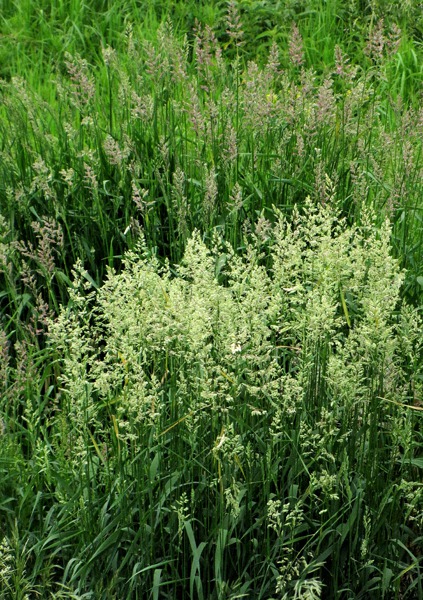
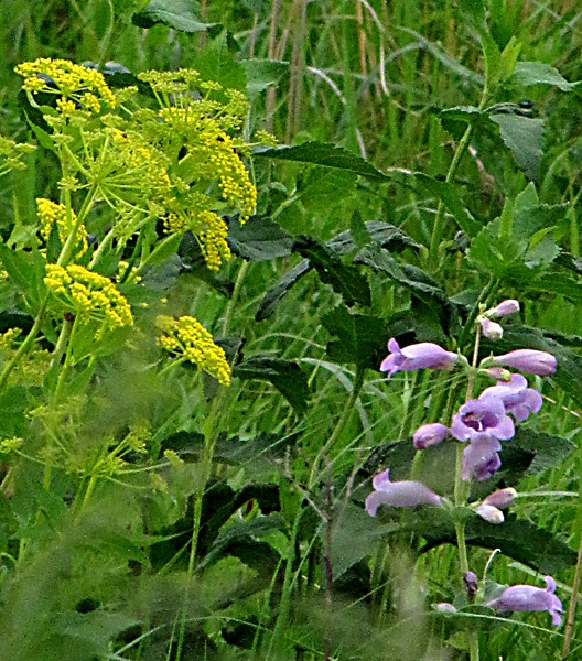
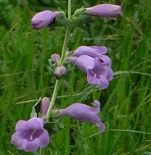
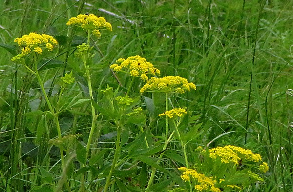
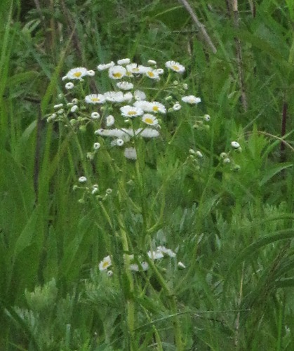
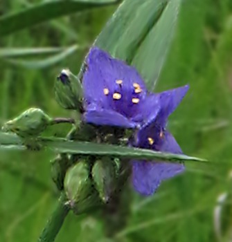
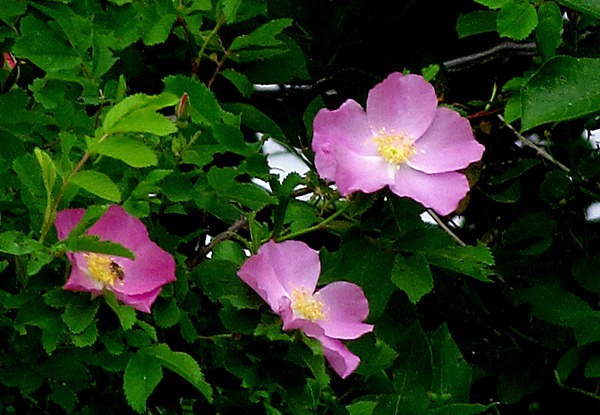
Prairie grasses historically abundant throughout the Tallgrass prairie include big bluestem, little bluestem, switchgrass, and sideoats gramma. Among the prairie forbs and flowers that beautify the grasslands are the prairie crocus, blazing star, prairie coneflower, and purple prairie clover. These communities developed under extreme conditions and are dependent upon periodic fires to maintain their vigor and prevent the invasion of woody species."
So the Refuge is a concerted effort to save rare remaining remnants of the magnificent tallgrass prairies. Those prairies once spanned 170 million acres covering the center of North America from Canada to Texas.
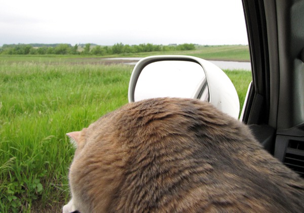
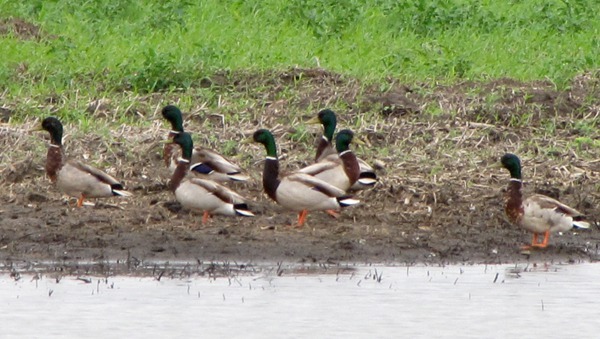
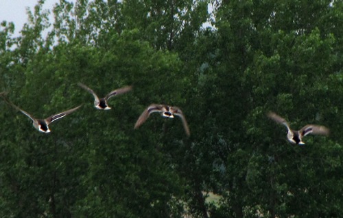
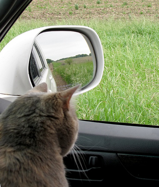
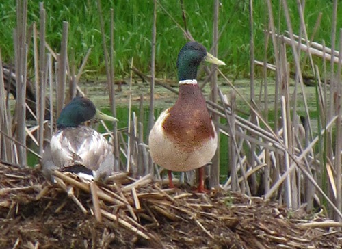
We drove slowly and stopped often, looking at flowers and birds. Sassy was getting to the end of her morning discussion about our road-tripping and started focusing on the potential for mice in the road-side grass. Where there are ponds there are mallards. Actually where there are puddles there are mallards -- they "breed anywhere like a British '60's rock band" birds. The first batch were all drakes, much like a British 60's rock band. They were rather spooky, and it didn't take much movement to propel them skyward.
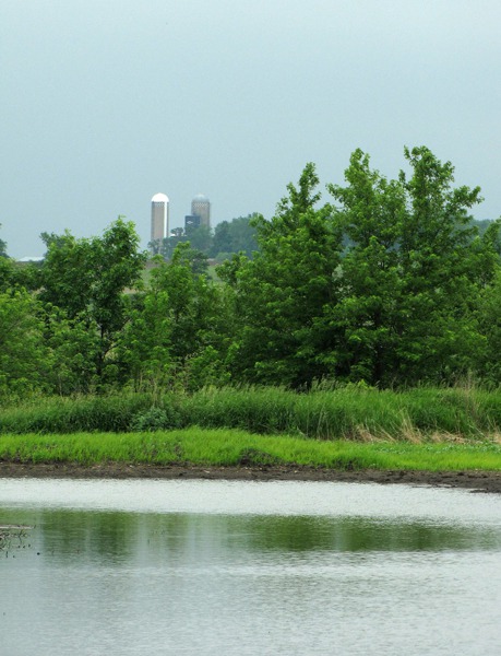
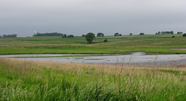
The refuge wasn't huge, so you could see farm land nearby.
Sassy seemed to have "inherited" Furry Purry's sense of when not to get out of the car. We thought there might be coyotes nearby, and she was very alert.
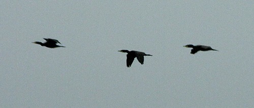
There was a wealth of activity, including a flight of cormorants -- we didn't see any nesting sites for them on the refuge ponds, but there was no shortage of water in the area.
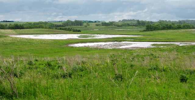
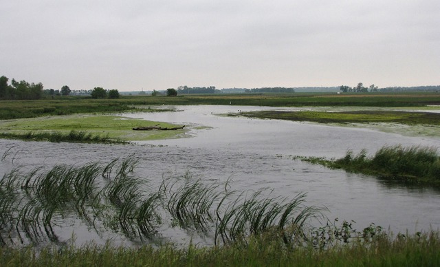
The refuge had benefited from the amazing amount of rain this spring, and all the plants were very robust.
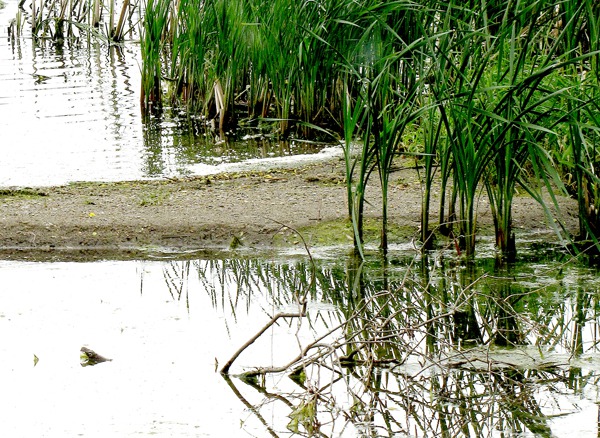
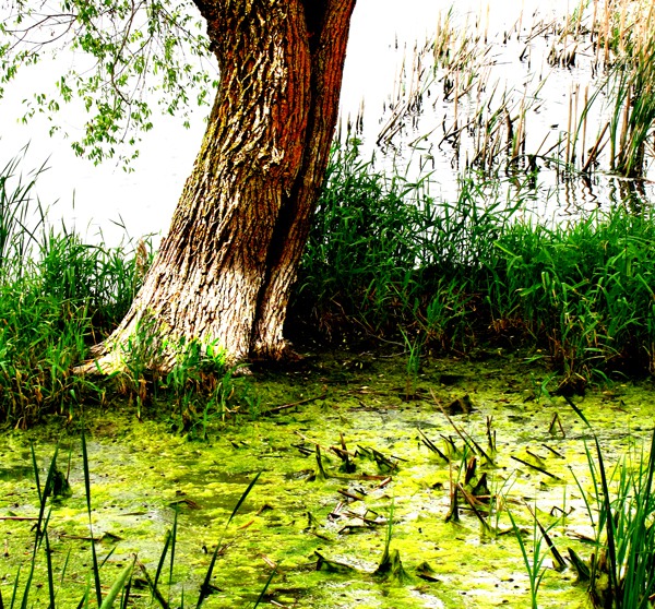
The vegetation went right to ponds' edge -- different than when cattle are near ponds in the West where cattle tend to "hang out" and turn the riparian areas into nothing but mud and cow waste.
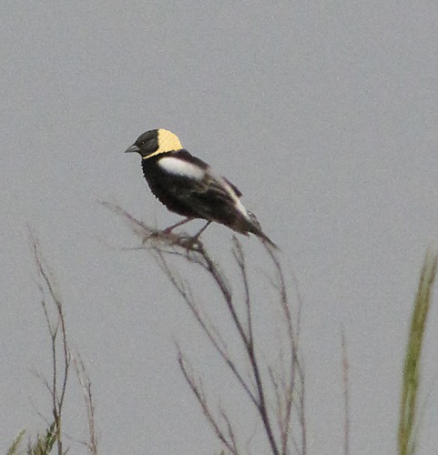
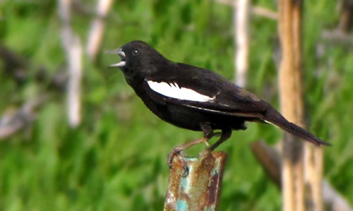
There were a number of other birds in the area besides waterfowl as well -- we saw a bobolink sitting on a bush stem not far off the road.
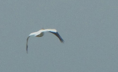
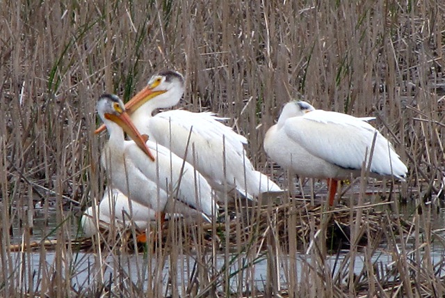
While we didn't see any pelicans at the refuge, we did get a pelican fly-by.
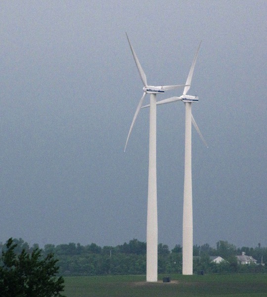
Big Sioux River: We drove the far perimeter of the refuge on the three-sided "loop" around it, and got back on the pavement. We very quickly hit construction, which allowed me to stop and get a shot of a couple members of a huge wind farm near the Minnesota/South Dakota border. We headed south on US HWY 75 to Ivanhoe MN, then east on MN HWY 19/SD HWY 30.
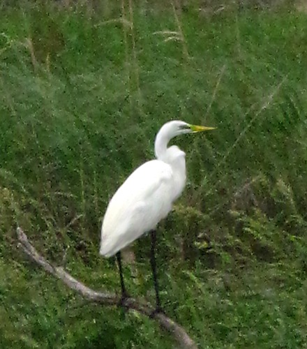
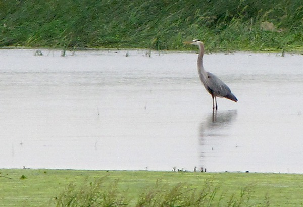
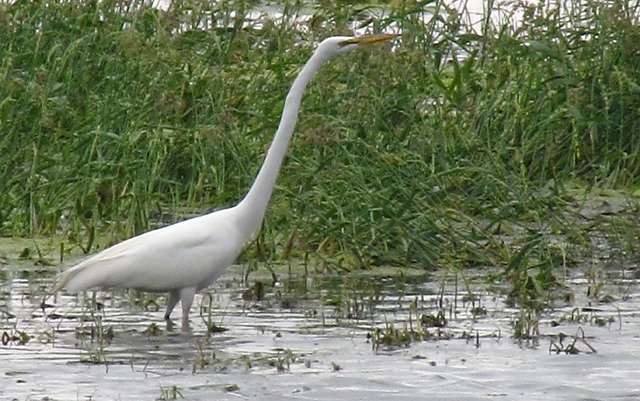
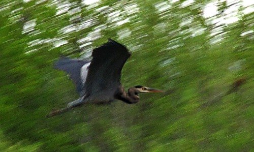
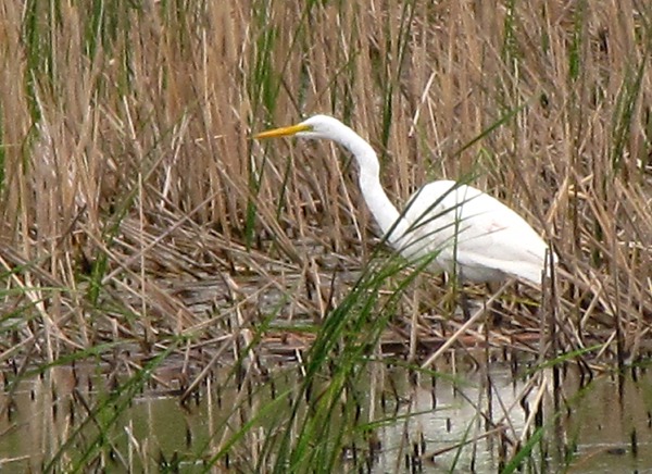
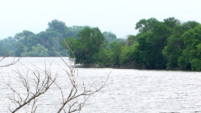
Soon after the wind farm we hit the Big Sioux River which was over its banks and teaming with birds -- especially egrets and herons which are in evidence in the background in the following photo. Oakwood Lakes State Park, SD: Not long after crossing the Big Sioux River into SD, we entered Oakwood Lakes State Park, made up of eight connecting glacial lakes. From the website: The park was once used as a summer camp and an annual gathering spot for American Indians. Later, Samuel Mortimer arrived in 1869 and built the log cabin that still stands at the park.
Outside the park, across the road, we saw both egrets and pelicans in the roadside slough.
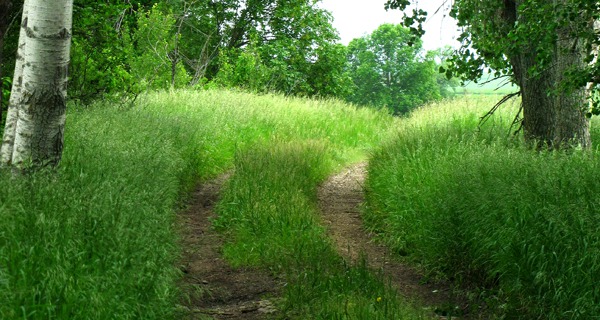
We drove into the park and stopped at the attractive new entrance station where Louise got maps and some additional information on the area and got our annual South Dakota park pass. We went to a set of Indian burial mounds, and Louise walked into the tall grass to check them out while I cat-sat Porta-Cat on her leash near the car. We made a u-turn and headed out of the park, with a side-road loop away from pavement and along a set of lakes near the park entrance.
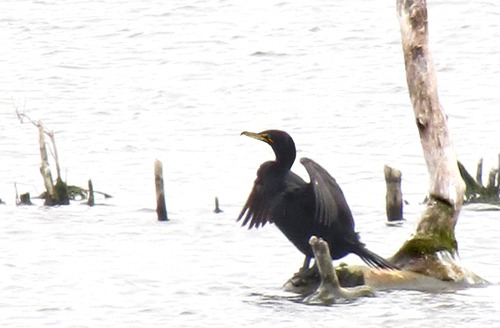
A pair of mallard drakes were half-way home -- they had a nest but no women. We got back onto pavement and drove toward the park entrance. Not far into the park a cormorant was drying on a log in the lake.
Missouri River Floods in SD: We headed west on US HWY 14 and drove through sandbagged Pierre and Fort Pierre.
The levees -- holding back the 150,000 cubic feet per second outflow of Oahe dam, were as high as the middle of the roof on a road-side Perkins restaurant, and the water inside river, outside the levee, was even with the eaves of the Perkins roof. The only way to see it was from on the Missouri River Bridge in Pierre, and we couldn't stop, so we missed photos of the flooding there.
2011 Missouri River Floods: From Wikipedia: The flooding on the Missouri River in SD began in late May. The flooding was triggered by record snowfall in the Rocky Mountains of Montana and Wyoming along with near-record spring rainfall in central and eastern Montana. All six major dams along the Missouri River released record amounts of water to prevent overflow which led to flooding threatening several towns and cities along the river from Montana to Missouri; in particular Bismarck ND, Pierre SD, Dakota Dunes SD, South Sioux City NE, Sioux City IA, Omaha NE, Kansas City MO, and Jefferson City MO, as well as putting many smaller towns at risk. According to the National Weather Service, in the second half of the month of May 2011, almost a year's worth of rain fell over the upper Missouri River basin. Extremely heavy rainfall in conjunction with an estimated 212 percent of normal snowpack in the Rocky Mountains contributed to this flooding event.
The Corps of Engineers has now increased the flow to 160,000 cubic feet per second compared to an average flow of
56,000 cubic feet per second -- guess the levees have held so far, but everyone in Pierre is nervous as a street lizard.
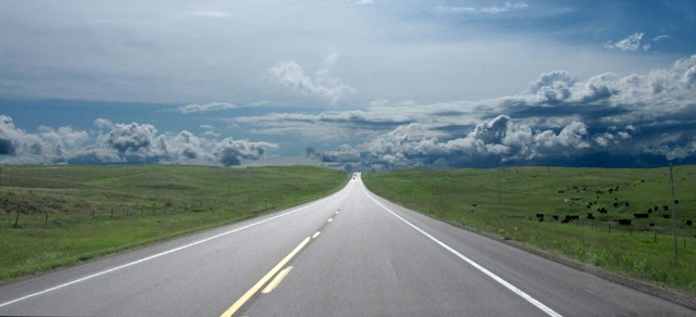
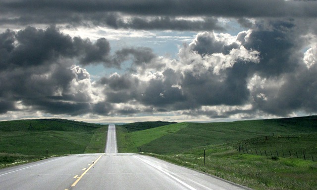
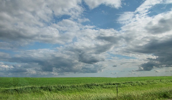
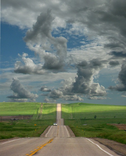
We climbed out of Pierre and headed toward Rapid City on US HWY 14 .... across the open sweep of the plains once more after the enclosing tree-lined roads of Minnesota. As is often the case in South Dakota, the "skyscape" takes visual precedence over the landscape.
We went through the little towns of Midland and Philip, and then finally hit Wall, where we pretty much had to "freeway it" the rest of the way to Rapid City.
We managed somehow to drive around most of the worst storms we could see on the horizons -- and Sassy was happy to get home and take up residence in her green arm chair again.
Text by Brian and Louise, Photos by Brian, Text and Photos Copyright Goin Mobyle, LLC 2011.


