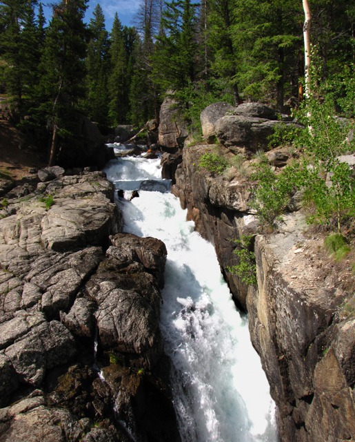
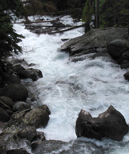
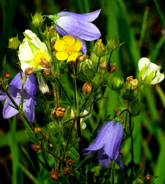
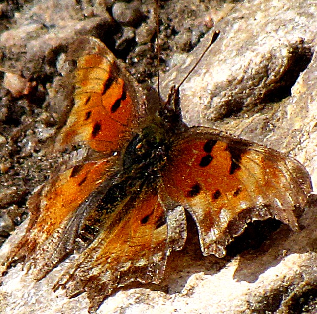
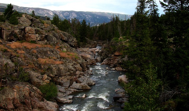
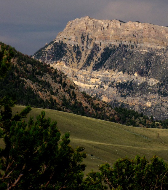
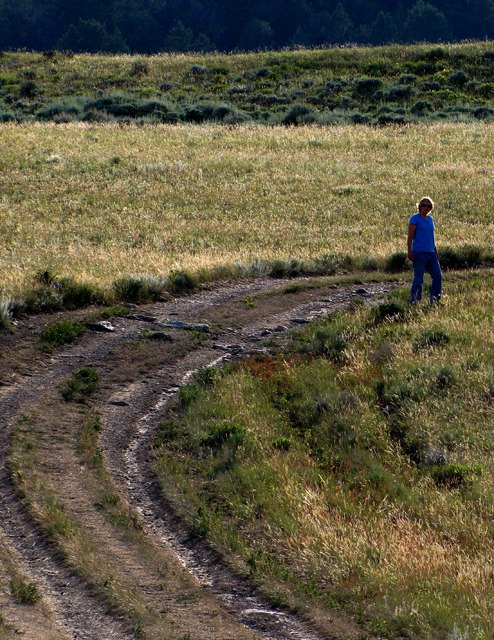
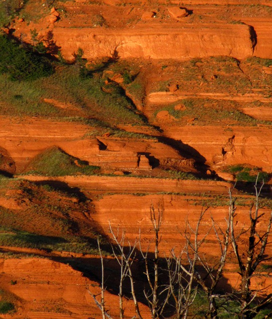
The trail wanders along a lovely hillside of wildflowers with the edge of the chasm on the other side.
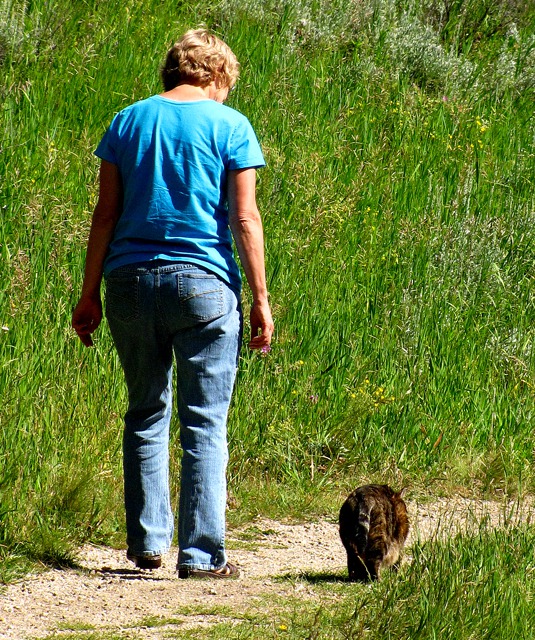
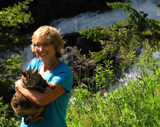
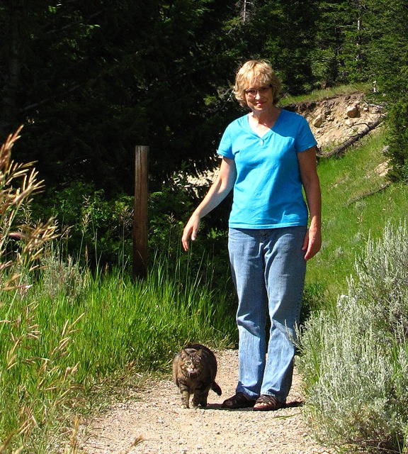
Leesha struck out like a veteran hiker, not the least worried about the roar of the water or the cliff edge. She sniffed the flowers and grasses on the upward side of the trail and followed Brian to the picture taking spots.
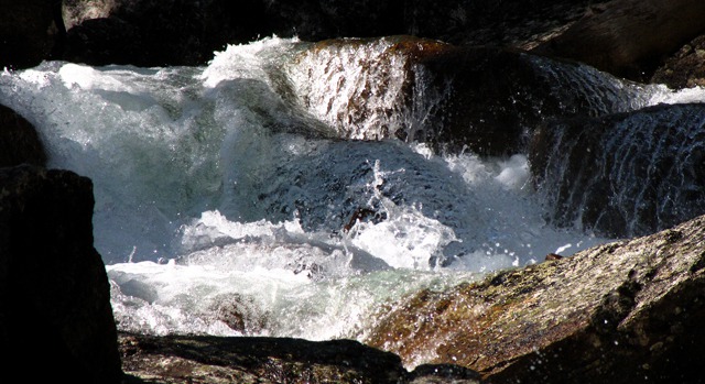
I kept a very watchful eye on her for fear she would get too close to the edge.Lake Creek is a Long Creek: It originates at a small unnamed lake just south of Gravel and Till Lakes in Montana. It then flows into another nameless lake and then into Lake Elaine. There it's joined by the outflow from Red Storm Lake and Sierra Creek. This larger Lake Creek then flows into Granite Lake, a large lake that spans the Montana-Wyoming border. Then the creek flows through and drains out of thirteen small lakes before flowing under the Beartooth Highway. South of the highway, the even larger Lake Creek is joined by Muddy Creek, Squaw Creek, Ghost Creek, and Beartooth Creek to form the headwaters of the Clarks Fork of the Yellowstone River. In 1990, 20.5 miles of the Clarks Fork was added to the National Wild and Scenic Rivers System. The segment is from the Clarks Fork Bridge on WY HWY 296 and ends about one mile west of the Shoshone National Forest boundary
near the mouth of the Clarks Fork Canyon.
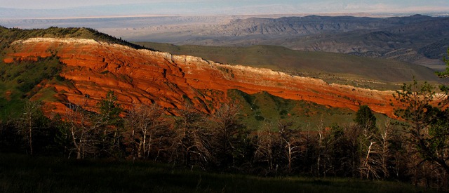
Into Sunlight Basin: After the hiking and picture-taking, we continued down US HWY 212 to WY HWY 296, the Chief Joseph Scenic Highway. The road has multiple names -- Crandall Road and Dead Indian Hill Road. This lovely drive follows the rugged canyon of the Clark's Fork of the Yellowstone River as it rips through the Sunlight Basin.Nez Perce National Historic Trail: We visited a portion of this trail in Idaho along the Clearwater River. The Nez Perce reservation is in north central Idaho. After the 1877 Battle of Big Hole in far western Montana, Chief Joseph and 1,000 members of the Nez Perce tribe fled east through Yellowstone National Park. The US government was attempting to force the tribe onto a reservation so ranchers could take over their original land. The Indians headed up the Clarks Fork toward the Canadian border.
After the multi-day Battle of the Bear Paw in northern Montana, a tired and sad Chief Joseph surrendered, refusing to fight any longer.
Congress passed the National Trails System Act in 1968, establishing a framework for a nationwide system of scenic, recreational, and historic trails. The Nez Perce (Nimíipuu or Nee-Me-Poo) National Historic Trail stretches from Wallowa Lake OR to the Bear Paw Battlefield near Chinook MT. It was added to this system by Congress as a National Historic Trail in 1986. See
Nez Perce National Historic Trail for the details.
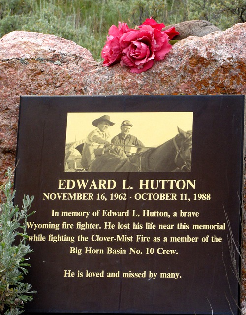
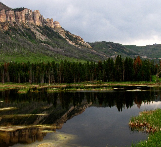
Fallen Firefighter: We stopped at the Edward Hutton memorial, erected in honor of a local firefighter who lost his life during the forest fire infernos of August 1988.
A total of 793,880 acres or 36 percent of the park was affected by the wildfires. On 20 Aug 1988, in 24 hours, the fires consumed a staggering 165,000 acres - growing by more than 50 percent in a single day.
Louise Remembers the Fires: My late husband, Mark, and I were in this area in 1988, backpacking in the Absarokee-Beartooth Wilderness south of Red Lodge MT. We finally hiked out because the smoke was so thick we couldn't see across Keyser Brown Lake where we were camped. Turns out that was the day the fire burned to the edge of Cooke City MT.
Then in 1990 we returned to the area to camp at Hunter's Peak. The streams were full of ash, and the meadows were ablaze with flowers. And the birds that follow fire were everywhere -- Clark's nutcrackers, hawks, and more. Also the deer and elk were abundant, feeding in the newly open meadows.
As awful as fire is, the entire ecosystem evolved with fire and thrives best with fire.
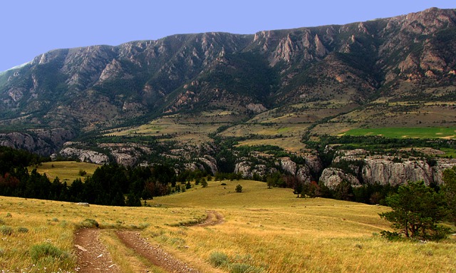
After visiting the Memorial, we drove out onto the bench overlooking the canyon and had a nice picnic as the sun started to go down.
I hiked while Brian took pictures.As we headed toward Cody over Dead Indian Pass, we marveled at this glorious sunset.
A right turn south onto WY HWY 120 took us into Cody WY for the first night.
Louise with Photos by Brian. Text and Photos copyright Goin Mobyle LLC 2009
