June Crash and Boom
Thunderstorm Photo Essay, by Brian:16 June 2010. We had some more "moisture" as in "We need the moisture" here in Rapid City last night. In country that gives thanks for 15 inches of rain a year, we had 3 inches in one afternoon a day ago. Then yesterday afternoon, a bunch of those huge cumulus clouds right out of a Charlie Russell paintings started to form out yonder over the plains, and last night just before sundown they drifted on over and cut loose.
I was hanging out in the kitchen and Louise said, "Grab your camera" and that turned out to be very good advice. The sky was spectacular, as was the lightning show the storm put on. I guess they had tornadoes east of here. From the looks of the sky, that came as no surprise.
 After the storm passed, the sun came out low on the horizon and cast everything, including some amazing cloud formations, in that dramatic last light of evening.


 By 10:00 pm most of it had blown over, and it was dark and quiet. But what a dramatic denouement to the day.

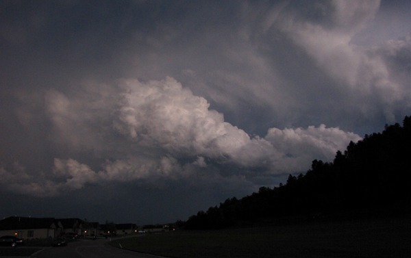
The Storm Rolls Over the Mountain

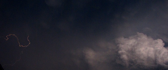
Lightning Starts

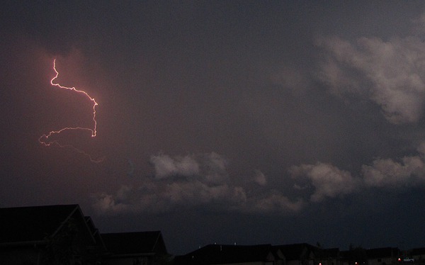
Lightning over the Rooftops

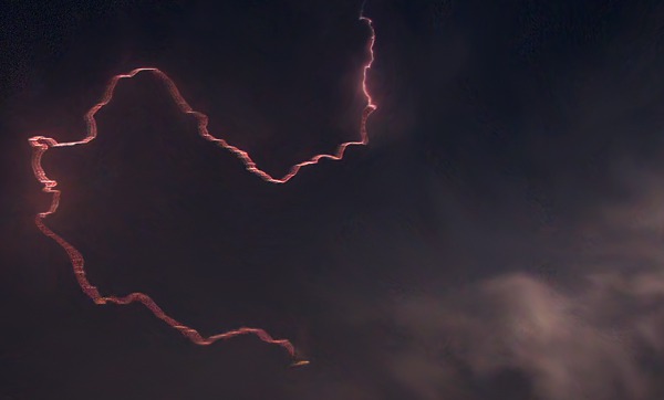
Cloud to Cloud and Loud

Cliff Across the Road with Receding Storm

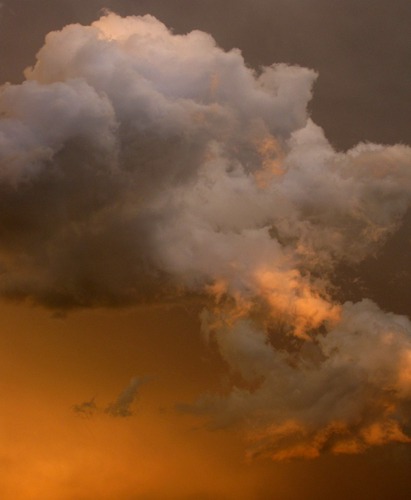
Cumulus Cloud Backlit with Orange Highlights

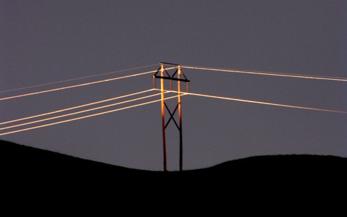
Low Sun Hits Utility Pole

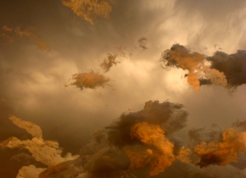
Tumult in the Cloud Layers

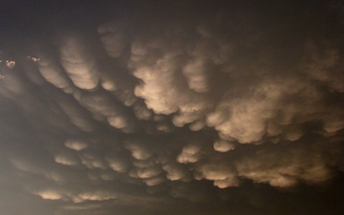
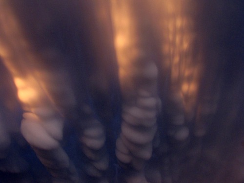
Mammatus Clouds

Mammatus Clouds with Sun Highlights

Slant Rays of Sunset

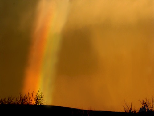
Rainbow Crashes Into the Treetops

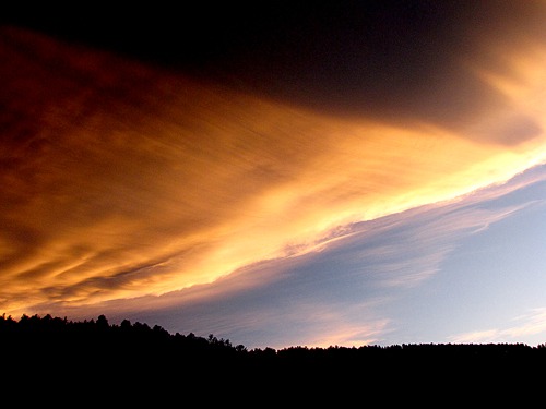
Storm Edge Sunset
Brian, with Photos by Brian
Text and Photos copyright GoinMobyle LLC -- 2010