We left Moses Lake in the morning and drove through the Columbia Wildlife Refuge (see Post) and from there, headed out across the Palouse to Lewiston, ID, and to some final spot for the day, To Be Determined, on the Clearwater River. Our route followed Dodson Road south of I-80 to Frenchman Hills Road to Mcmanamon Road to the little town of Othello. There we headed east on WA 26 to Lind-Hatton road which took us to Connell and WA 260.
On east we went through Kaholtus and Sperry. In Sperry we turned south on WA 261 to Palouse Falls State Park. Our plan was to intersect US 12 west of Lewiston, ID, and follow the Clearwater River to the Middle Fork Clearwater Wild and Scenic River, and its headwaters at the confluence of the Lochsa and Selway rivers, then over Lolo Pass and back to Bozeman. A wonderful wander!
The Palouse, as a number of artists and photographers have discovered, isn't a "big empty of tall grass" as it must have seemed to the pioneers, but it is big. Palouse is a region that encompasses primarily southeastern Washington and north-central Idaho. It's open rolling country that produces primarily wheat and legumes.
The name "Palouse" may have derived from a combination of terms, as did so many names in the west. One theory is that the name of the Palus tribe (also spelled Pelusha) was converted by French Canadian fur traders to the more familiar French word pelouse, meaning "land with short and thick grass" or "lawn." Over time, the spelling changed to Palouse.
According to Roadside Geology of Washington, the area is a veneer of yellowish windblown dust (loess). The Hills are old dunes of the richest soil found. The origin of the dunes is debatable -- are they the result of large clouds of dust blown off the glacial outwash to the north or clouds of dust blown from the extremely dry county of south central Washington and Oregon?
The area that is not farmed has a thin layer of soil over basalt and other volcanic flows -- it's a haven for sage brush and a wide range of native grasses. There is the best agricultural land mixed with some mighty tough country.
- Mustard Field near Connell
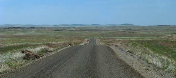
- Road Past a Cattle Operation
- Palouse Falls With Basin and Rainbow
The rock area surrounding the falls was a mixture of basalt and other flows, and it created some great formations. I would guess that you could spend an entire day, if you were so inclined, photographing or painting the geology of the area.
- Palouse Falls Basalt Castle
Below the falls, the river had carved a steep-sided canyon in the lava.
- Palouse River Canyon Below the Falls
- Railroad and Highway Bridge Intersection
Joso Railroad Bridge over the Snake
If someone had time and inclination, there was an entire day's worth of "architectural" photography available at this spot -- almost endless variety of shapes and light qualities to work with. I did the same shot above in black and white to highlight that phenomenon.
To steal a line from Peter Lik, the flamboyant Weather Channel's Australian photographer equivalent of Steve Irwin (minus the "Crikey") -- who stole it from someone else, I'm sure, "it's not necessarily what you see but how you see it." This bridge is three quarters of a mile long and 280 feet above the river. It was completed in 1914 by railroad magnate Edward Harriman as part of his battle with fellow rail magnate James J. Hill for domination of the western routes.
-
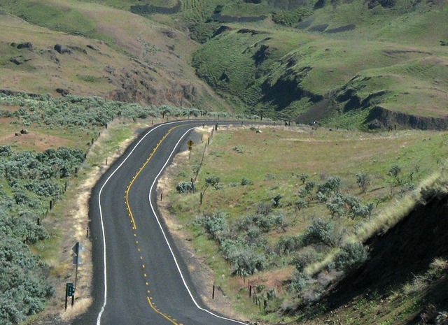
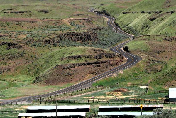
- WA 260 Along the Snake River
We rolled through Lewiston, Idaho as the sun was getting low, and after a gas and water stop at the edge of town, picked up the Clearwater River and headed upstream toward a resort or motel somewhere ahead. The day was very hot, and we couldn't leave Leesha in the car. She didn't like the heat one bit!
- Clearwater River outside Lewiston ID
After we unloaded all the gear, we went for a walk near the pond on the grounds. The Resort has a swimming pool, meeting halls, and a number of other things. the pond area was nice because it gave Furry a cool place to go for a little walk before we went to bed.
As we walked back to our room, a full moon came out over the trees at the resort, signing off a great day on the road.
Test by Brian and Louise, Research by Louise, Photo by Brian. Copyright GoinMobyle, LLC, 2011
 A Palouse Expanse
 Down a Palouse Hill
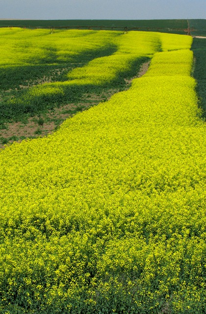 Mustard Field
 Road Past a Cattle Operation
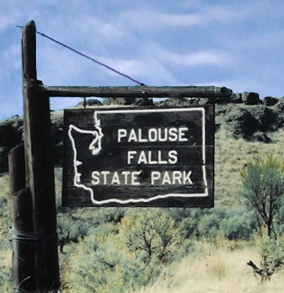 Palouse Falls Park Sign
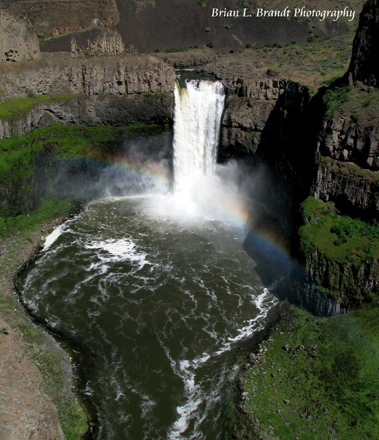 Palouse Falls With Basin and Rainbow
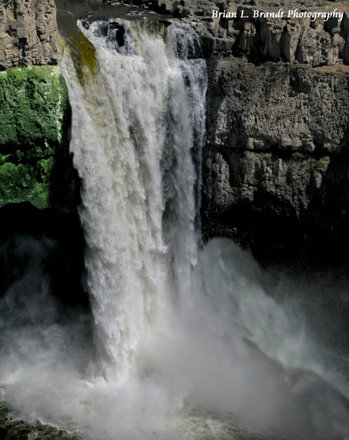 Palouse Falls Closeup
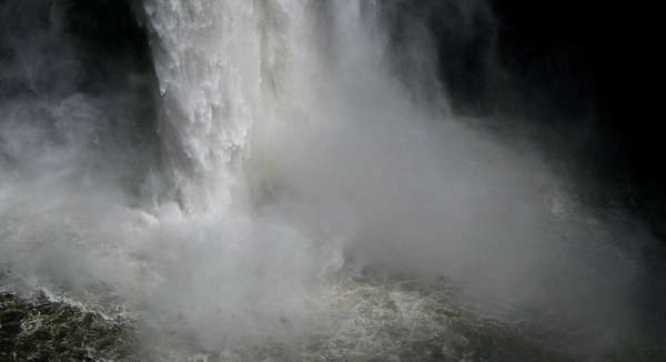 Falls Bottom Plunge
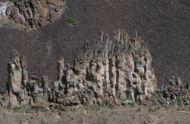 Palouse Falls Basalt Castle
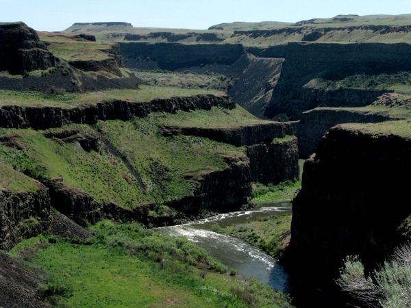 River Canyon Below the Falls
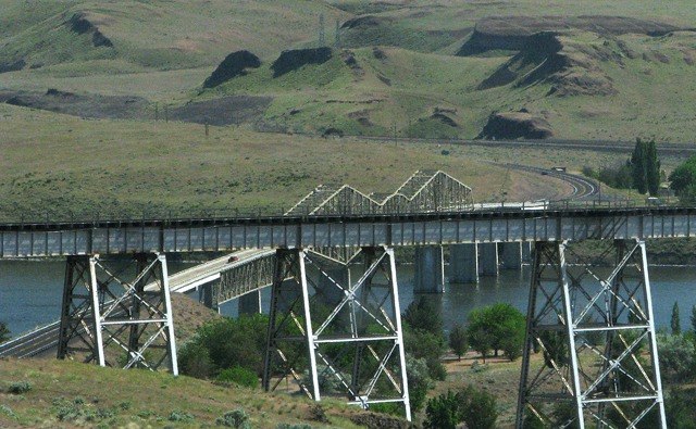 Railroad and HW Bridge Intersection

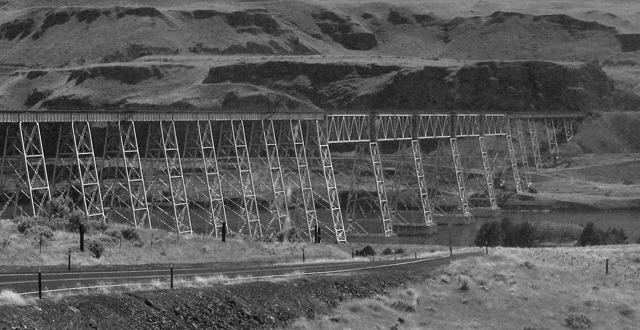 Columbia Railroad Bridge B&W
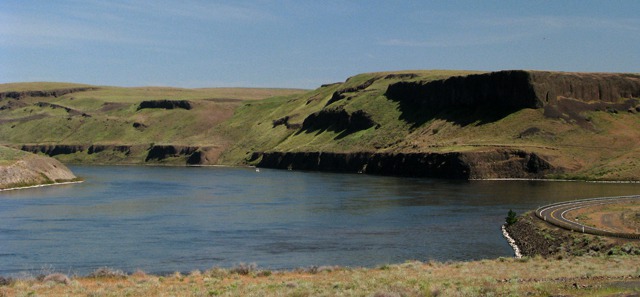 Highway Along the Columbia
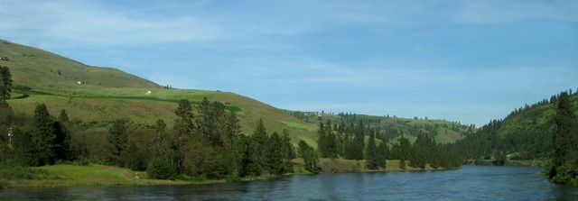 Clearwater River outside Lewiston ID
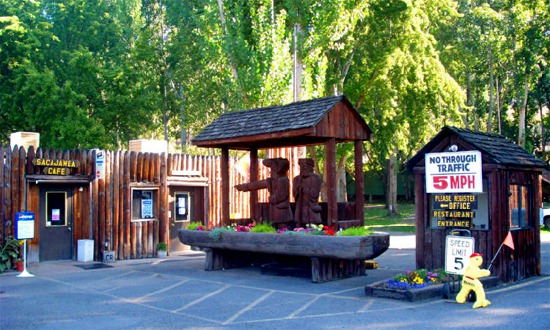 Lewis and Clark Entrance and Cafe
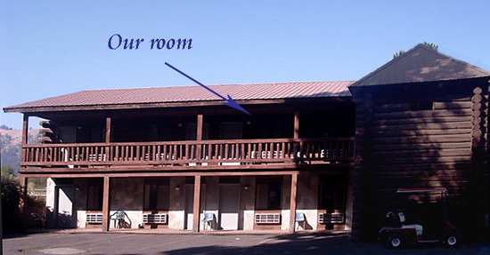 Our Motel Building
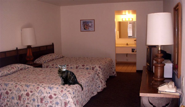 Room get the Furry Purry Sniff Test
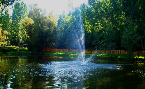 Lewis and Clark Resort PondTest by Brian and Louise, Research by Louise, Photo by Brian. Copyright GoinMobyle, LLC, 2011
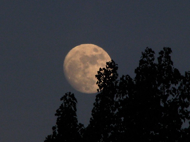 Moon over Trees at Resort


