Travel Blog
Day 5
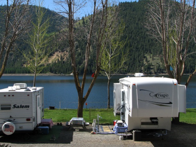
By the time we got to the Lewis and Clark resort in Kamaih, it was nearing dusk. An hour later, a huge full moon rose over the trees. Leesha enjoyed a long walk in the trees and grass on the wild edge of the resort. A motorcycle club from Lewiston was also enjoying a group vacation. Leesha was a big hit with the bikers and earned lots of pets.
The resort rooms were so clean that Furry didn't find anything to sniff. Odd. At least odd until we met the main housekeeper the next morning. Germanic and obviously both proud of the work her crew did and efficient. Furry did like the smell of the logs in the stairwell, however.
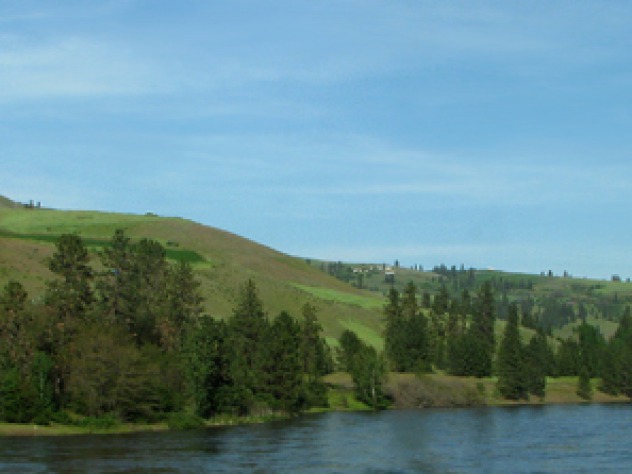
We rolled out of the resort as the motorcyclists were getting to roll as well. Just before we headed up the Clearwater River, Louise and Furry posed with the bikes.
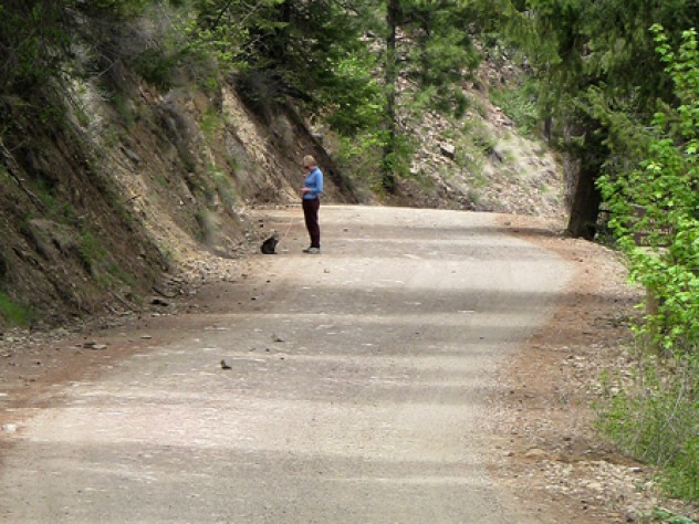
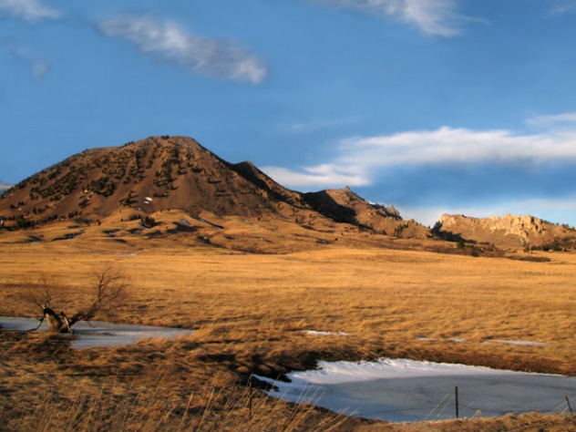
Louise also took a walk to the Heart of the Monster, a Nez Perce sacred site that's one of thirty-eight sites in the Nez Perce National Historic Park. Sites include the Big Hole Battlefield and the Bear Paw Battlefield. The Nez Perce National Historic Trail is here, too, and stretches from Wallowa Lake, Oregon, to the Bear Paw Battlefield near...
May, 18 2009
Day 4
We left Moses Lake in the morning and drove through the Columbia Wildlife Refuge (see Post) and from there, headed out across the Palouse to Lewiston, ID, and to some final spot for the day, To Be Determined, on the Clearwater River. Our route followed Dodson Road south of I-80 to Frenchman Hills Road to Mcmanamon Road to the little town of Othello. There we headed east on WA 26 to Lind-Hatton road which took us to Connell and WA 260.
On east we went through Kaholtus and Sperry. In Sperry we turned south on WA 261 to Palouse Falls State Park. Our plan was to intersect US 12 west of Lewiston, ID, and follow the Clearwater River to the Middle Fork Clearwater Wild and Scenic River, and its headwaters at the confluence of the Lochsa and Selway rivers, then over Lolo Pass and back to Bozeman. A wonderful wander!
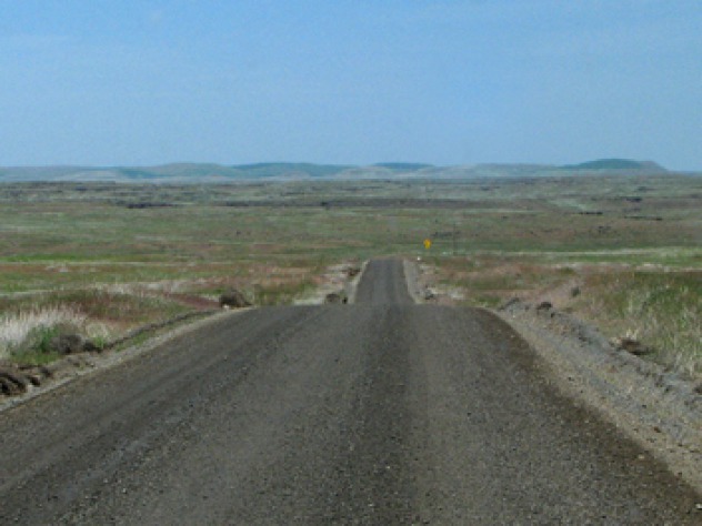
The Palouse, as a number of artists and photographers have discovered, isn't a "big empty of tall grass" as it must have seemed to the pioneers, but it is big. Palouse is a region that encompasses primarily southeastern Washington and north-central Idaho. It's open rolling country that produces primarily wheat and legumes.
A Palouse Expanse...
May, 17 2009
Day 3
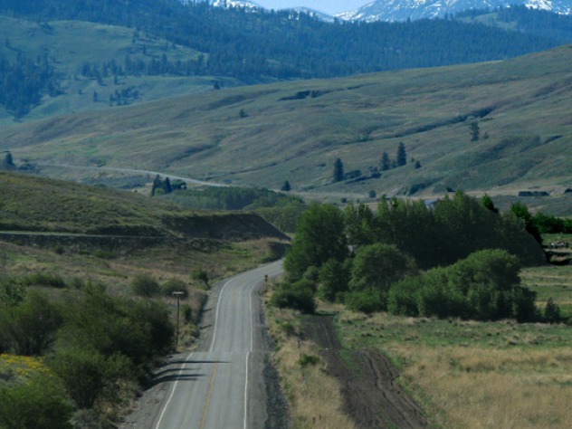
We left our friends Gary and Deb at Lake Conconully and headed to points south -- just because. We were on a loop, so we were simply looking for looping opportunities. "Grand Coulee Dam is impressive -- let's go there." And there we went. It's some hard scrabble country after you leave the lush Okanogan Valley -- scab lands, some call it. Inch-thick soil on top of lava, a lot of it. But there are some great views and lots to see if you are looking.
We headed east and south on WA 155 from Omak to Grand Coulee. According to our geology book, Roadside Geology of Washington, this is the Okanogan micro-continent, the first major addition to the West Coast. It comprises a distinctive highlands region of northeastern Washington. The Columbia river traces the eastern and southern margins, and the Okanogan River flows on the western edge. Geologically, Washington is made up of these distinctive island-sized continents. The first 20 miles east of Omak cross old continental crust, rocks that were once far out in the Pacific. The dominant rocks are gneiss on the southwest corner of the Okanogan dome.
We stopped so that we could eat something and Furry could get out and get a little stretch and...
May, 17 2009
Day 3
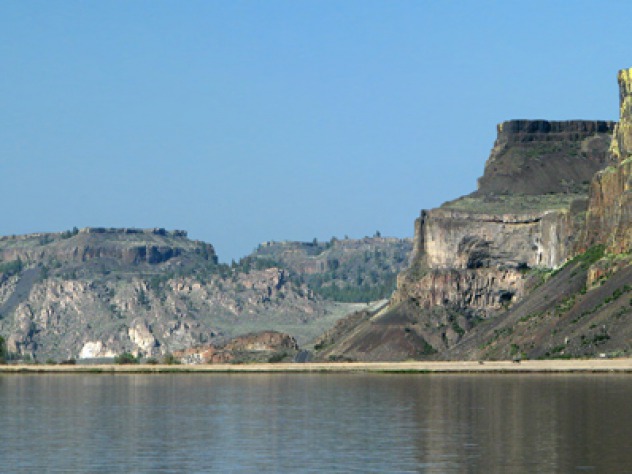
We left the spectacular Grand Coulee Dam and headed for Moses Lake, WA for the night. The drive takes you down the Grand Coulee on WA 155. The floods from ice-age Lake Missoula scoured a huge trench through the lava-encrusted landscape. Twenty-seven miles of the road runs along Banks Lake, seen below. It's named for the construction engineer who supervised the building of Grand Coulee Dam. "Coulee" is French for canyon; French fur trappers brought the word from Canada. The basalt columns of the Columbia Plateau were easy prey for the huge glacial floods the roared down from Idaho and Montana during the last ice age.
As you drive along the shores of Banks Lake, you'll see a sign for Northrup Canyon State Park. It's a spectacular side canyon that used to be a dumping ground for all the tin cans from the building of Grand Coulee dam. "Canning Parties" in the canyon used to be people rooting around in the old cans for treasures, although we think you are supposed to leave them as artifacts. We didn't do any "canning" -- we were too taken with the scenery.
In flat light, the canyon would have been primarily shades of gray and green. The spring sun hit...
May, 17 2009
Day 3
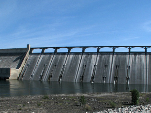
On our way from Lake Conconully to Moses Lake, WA, we decided to go see Coulee Dam or Grand Coulee Dam, depending on whom you talk with. Grand Coulee dam is on the Columbia River and it's -- well, grand in scope. According to our trusty guide, Exploring Washington's Past, the dam is the largest all-concrete structure on earth and is nearly a mile long. There are larger dams, but they have earth-filled cores. President Franklin Roosevelt approved funds for the dam's construction as part of the National Recovery Act's program of putting men to work on public building projects. The dam was begun on 3 December 1933 and completed in September 1941, ultimately a high dam for the generation of irrigation water and electricity. Three months later, the United States entered World War II, and the huge electricity generating capability of the dam supported the aluminium manufacturing process for airplane manufacture. An economic boon for Washington, to be sure!
It's so grand that you can't get it in one frame without a super wide angle lens. There's a park at the base of the dam in the town of Coulee Dam that is kept in beautiful condition and in May it was very green and full of blooms.
Furry was fixing...
May, 16 2009
Day 3
Lake Conconully Day Trips: On Out first trip we drove north on Sinlahekin Road -- a gravel road that skirted the lakeshore for several miles before it left Conconully and went past a series of other small pothole lakes along Sinlahekin Creek. The wildflowers were out, and Leesha went for a "leashed-up" stroll along the road.
Next along the road were the lakes set in the bottom of narrow Sinlahekin valley: Fish Lake, Blue Lake, Forde Lake, and Conners Lake.
The lakes had fish in them, and there were several boats out on the lakes.
The willows were in their lime green spring foliage, and looked like the "Sweet green icing flowing down" in the song "MacArthur Park."
On the hillside across the road from the lakes was an old flume, presumably left over from the mining days in the area. Flumes were also used in the construction of Conconully Dam to bring water to sluice earth into the dam and to bring water to the fruit orchards in the rain shadow of the Cascade mountains. This area, along with many in the West, shares the sad history of resource exploitation on native lands, legalized by Congressional fiat.
The hillsides surrounding the lake were awash in balsamroot, and all the...
Day 1
Driving from Kalispell MT to Lake Conconully WA through Libby MT and the glacial ice geology of Idaho and Washington
