Day Thirteen -- Driving From Salida CO to Loveland CO, 17 August 2010. We left Salida on a very nice day after an overnight rain. We headed north up US HWY 285 toward Loveland, with the idea we would likely get side-tracked at some point. We hadn't gone far before we hit a massive sunflower field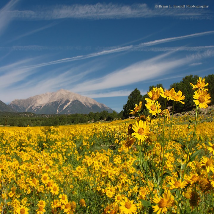 We stopped and pulled up a little dirt side road for a better view.
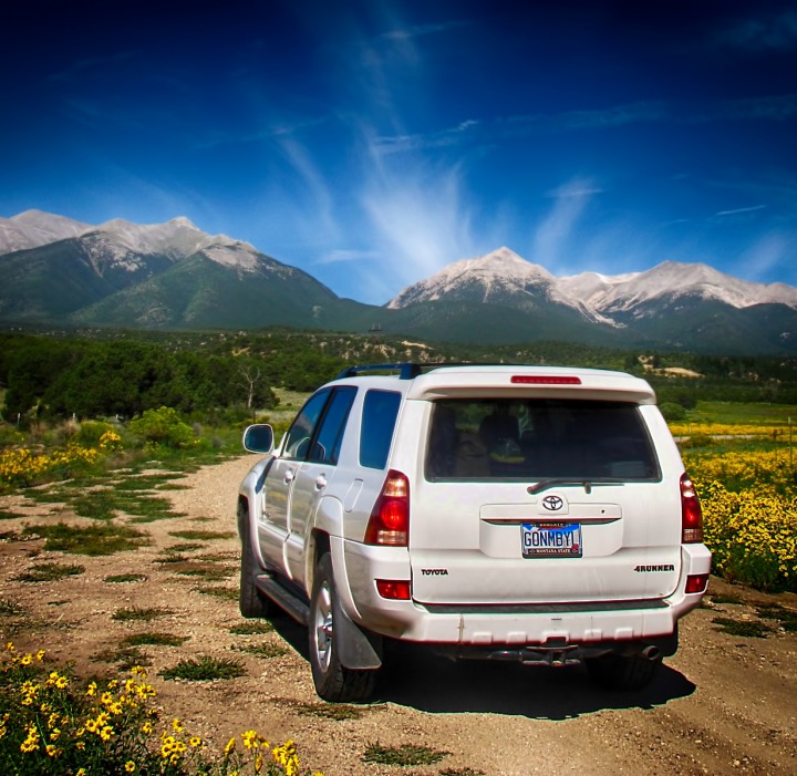
 Each sunflower was a little portrait in its own right.
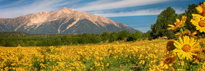
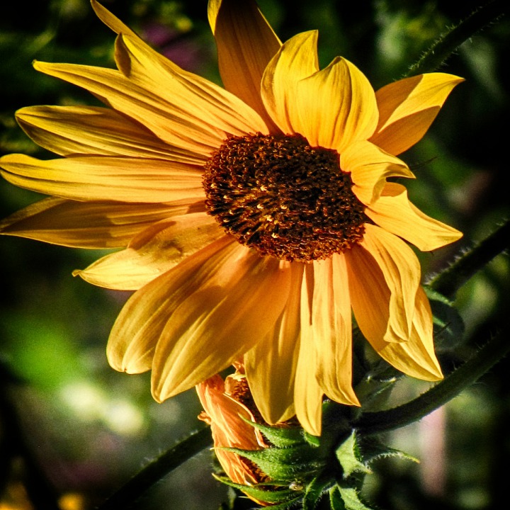 The Collegiate Peaks line the west side of the Arkansas River Valley in this stretch, making for a lovely backdrop to the drive.
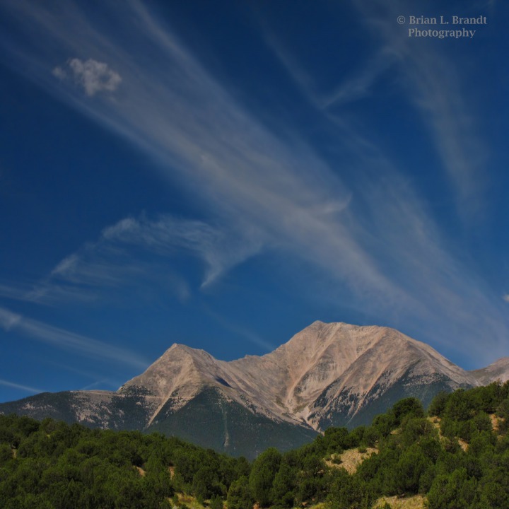 Back up US HWY 285 -- We left the sunflowers and headed back up US HWY 285.
 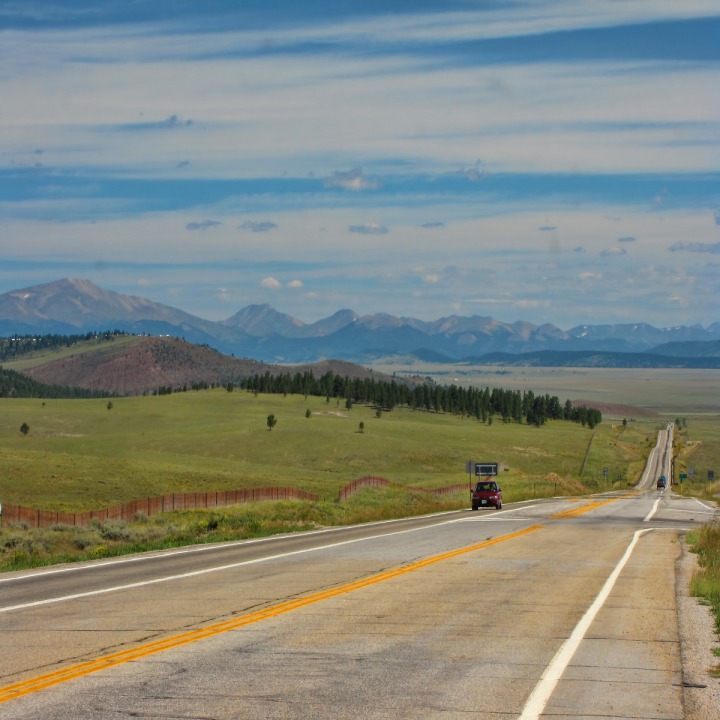 Louise found that there were some ancient bristlecone pines above the town of Alma, so we decided to take a side trip. But in the meantime, there were plenty of lovely things to see on the way. It didn't take long before we found our second irresistible side trip through a field of high-prairie flowers still blooming at this altitude in mid-August.
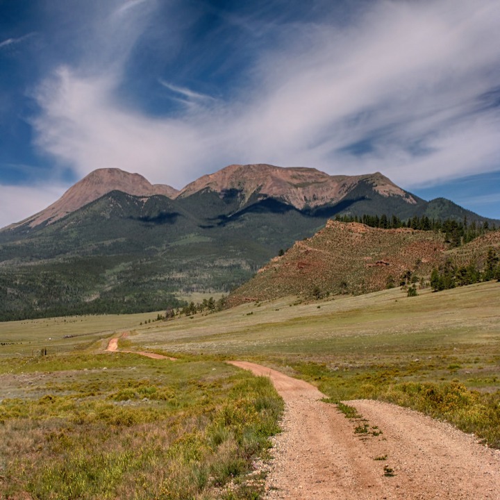 Among other flowers were some beautiful Indian paintbrush.
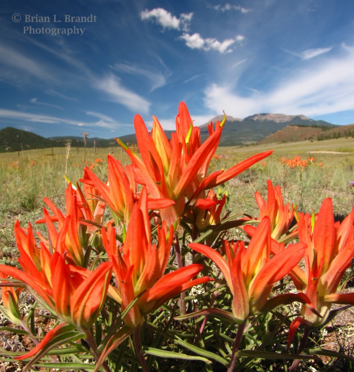 And we saw some lovely purple flowers.
 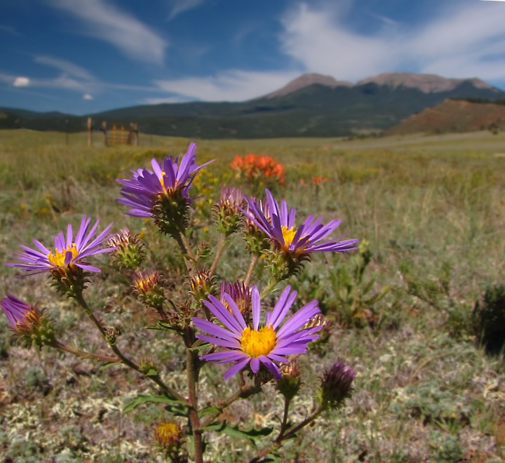 At the back end of the flowered flats, there were strikingly different geologies afoot.
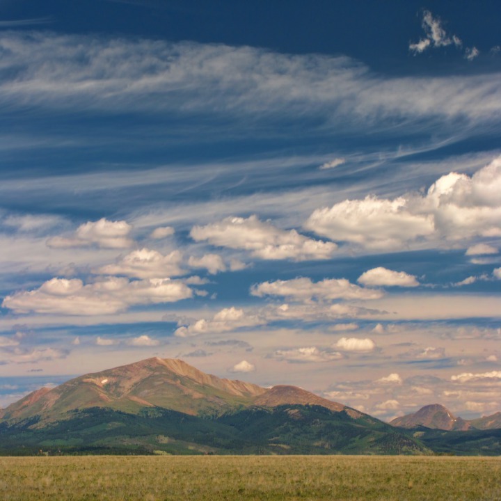
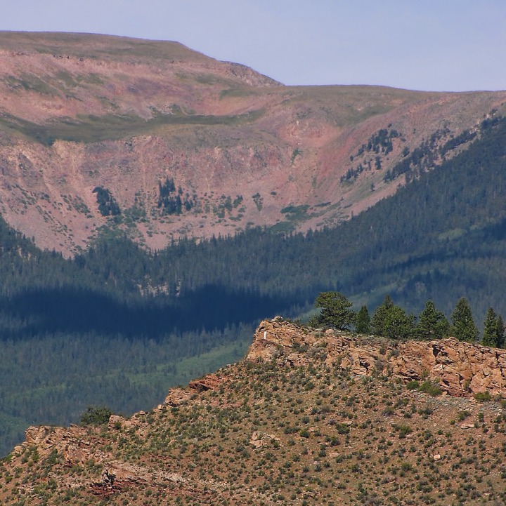 Back up US HWY 285 -- Again -- After we left the flowered flats, we went back up to US HWY 285 and headed north again. All along the western edge of the valley were a series of stunning peaks.
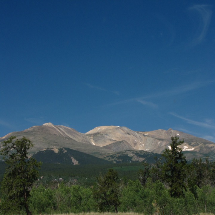
 We finally reached the turnoff to Alma, and a little way up that road encountered a little ground squirrel colony.
 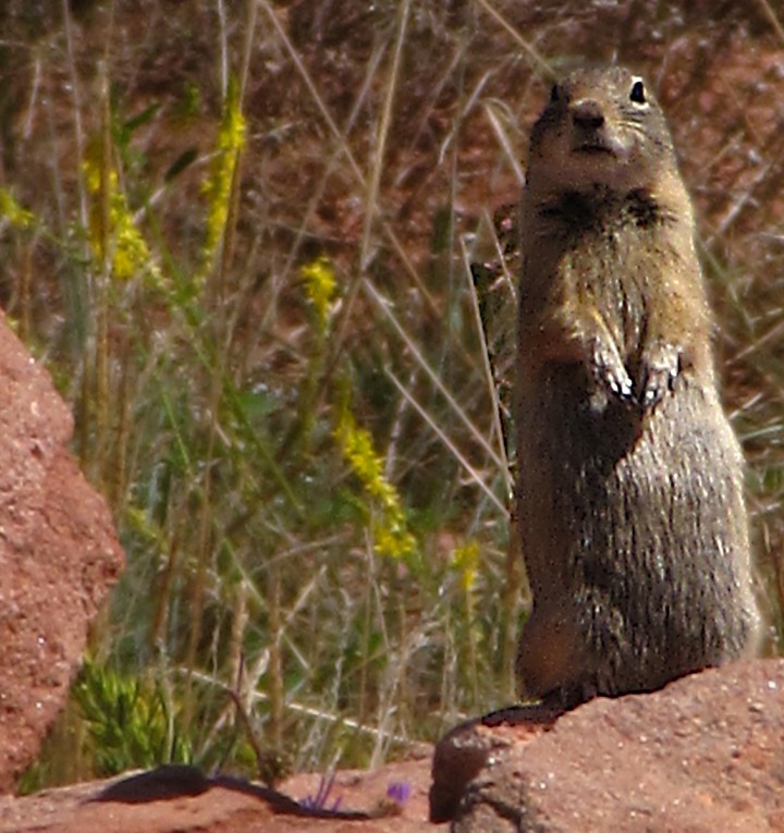 Heading up to Alma -- We turned off US HWY 285 onto CO HWY 9 at Fairplay, and passed through Alma and headed up into the mountains toward the mountain pass.
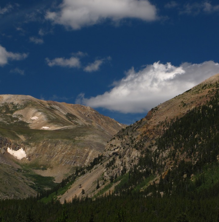 We were looking for bristlecone pines, and had general directions (up County Road 8 toward Mineral Park Road) and before long found ourselves next to a lovely little alpine lake.
 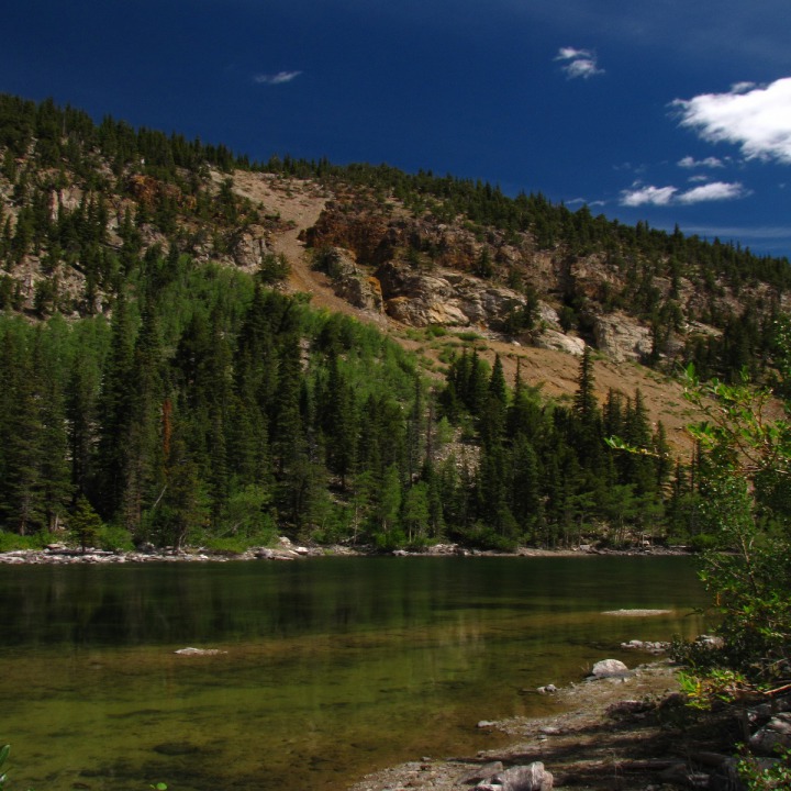 Furry Purry wasn't much of a lake cat, but she did hop out and take herself a little dust bath in the gravel road.
 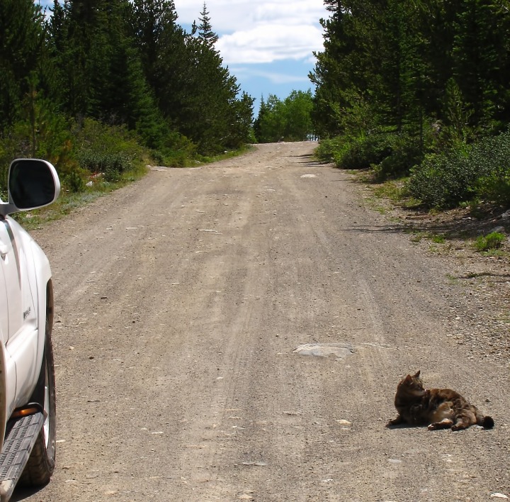 There were still a lot of flowers in the area, including this lovely blue bloom.
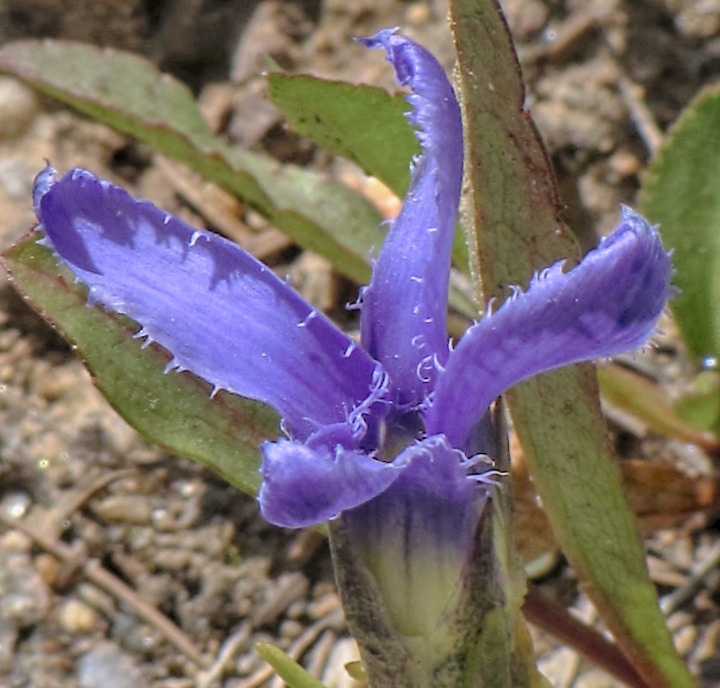 The leaves at that altitude were already starting to show a little color.
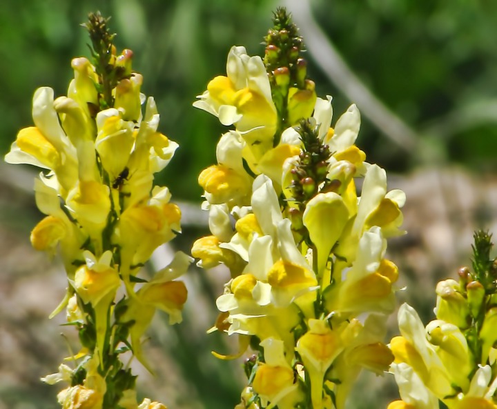
 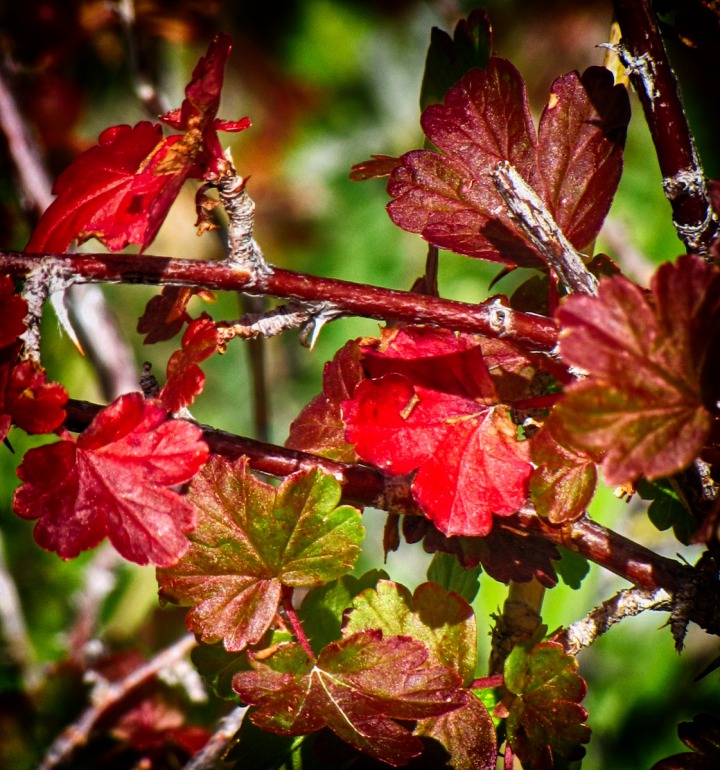 There were also paintbrush and these yellow flowers near the lake's edge.
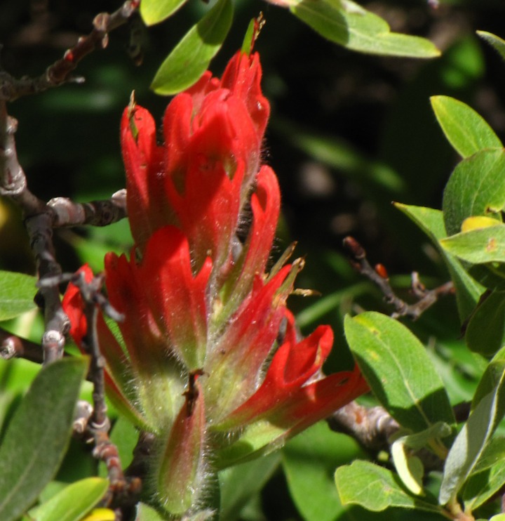
 There was also this amazingly dense cluster of reddish flowers as well.
 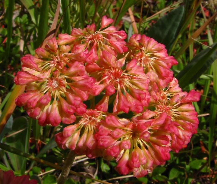 After wandering around for several hours on unmarked and successively more washed out old mining roads with no indication of where the bristlecone pines might be, we turned around and headed back toward Alma.
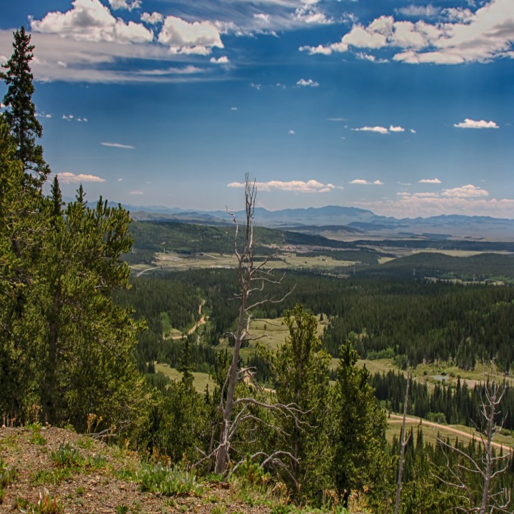
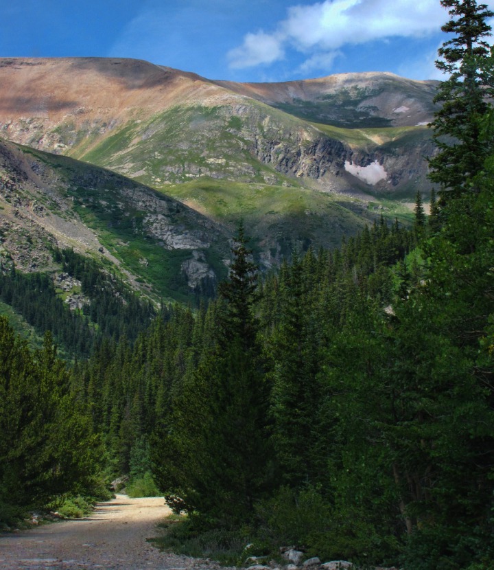 The scenery looking out to the east and south from Mineral Park Road were beautiful -- certainly worth the aimless drive up into the mountains above the town.
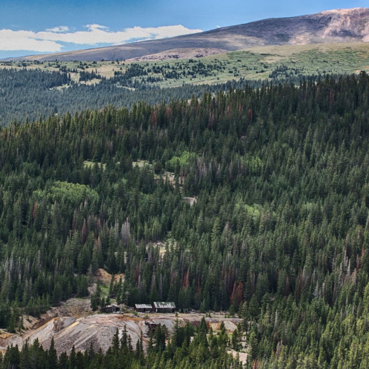

Sunflower Field and a Collegiate Peak

Beauty Shot of the 4 Runner Admiring the Collegiate Peaks

Wide View of Collegiate Peaks and Sunflowers

Sunflower Portrait

Streaks Over Peaks West of the Arkansas River Valley

North Up US HWY 285 Toward Alma CO

First Irresistible Side Road to a Flower Meadow

Paintbrush on Flowered Flats

Purple Flowers on Flowered Flats

Competing Geologies Above Flowered Flats

Mountains West of US HWY 285 South of Alma CO Turnoff One

Mountains to the West of 285 South of Alma Turnoff

Giant Cirque Basin in the Ridge West of 285 South of Alma Turnoff

Ground Squirrel Near the Turnoff to Alma

Mountain Pass We Drove to Outside Alma CO

Roadside Lake We Encountered Above Alma

Furry Purry Takes a Dust Bath In Road Beside the Lake

Blue Alpine Flower Near the Lake

Early Turn of Foliage Near the Lake

Paintbrush Near the Lake

Yellow Flowers Above Alma

Red Flower Cluster Above Alma

Heading Back Down Toward Alma

Mining Claim Above Alma

Looking East Southeast from Mineral Park Road Above Alma
In Alma -- At 10,361 feet, Alma billed itself as the highest town in Colorado. And locals (of whom there are about 300) told us that "highest" had more than one connotation -- and this was before legalized pot. But it was rather lovely in a quaint sort of way and only about ninety miles west of metro Denver 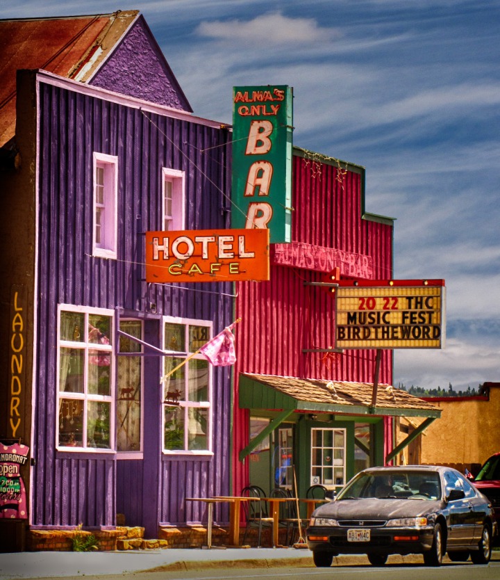 The town had spruced itself up some, with a number of flower barrels scattered along the very short main street.
 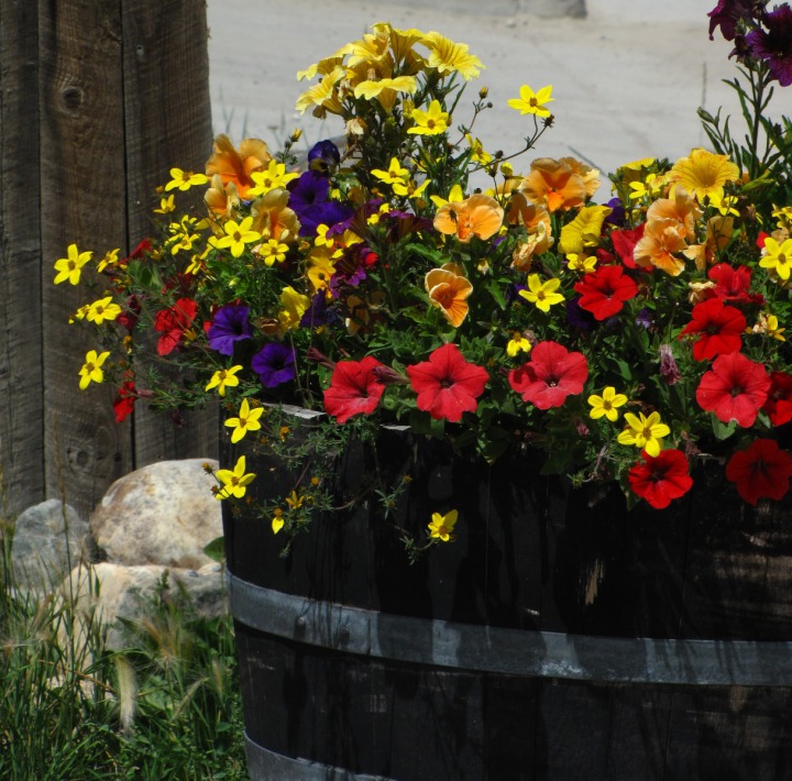 And the town did have a lovely old county library.
 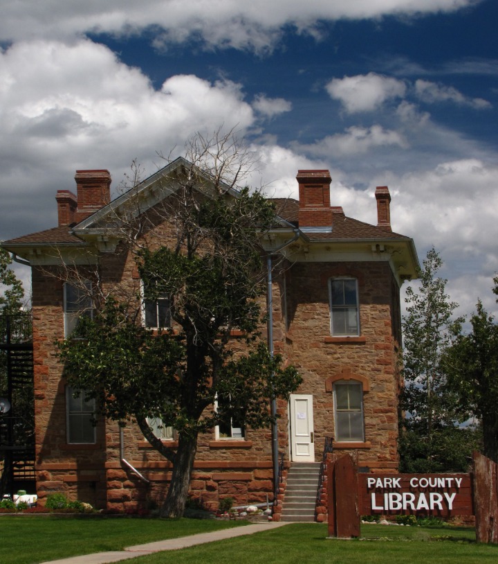 As we got into the mountains above Loveland, we drove through some ragged cliff country.

Arrive Back In Alma CO

Alma Flower Barrel

Park County Library in Alma
Back on US HWY 285 Headed North Again -- We drove back down CO HWY 9 into Fairplay and headed back up US HWY 285 north. 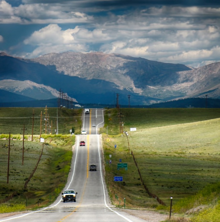 We didn't do what might have been obvious and drop into the Front Range Flats and drive up I-25, but stayed in the mountains on blue highways until we got even with Loveland, some fifty miles north of Denver. On the way there were a number of ragged cliffs along the road.
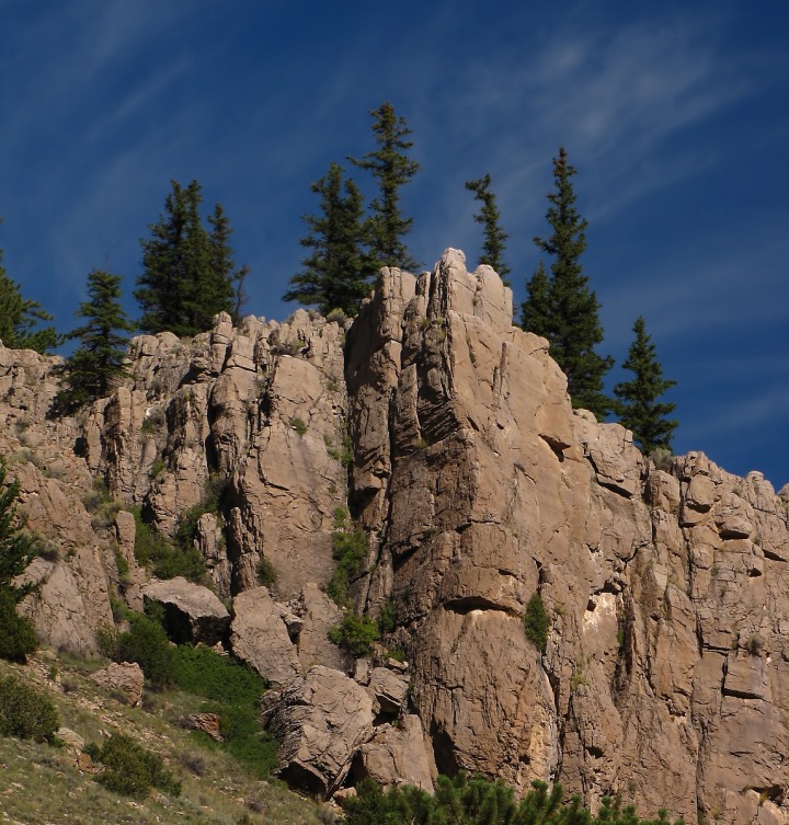
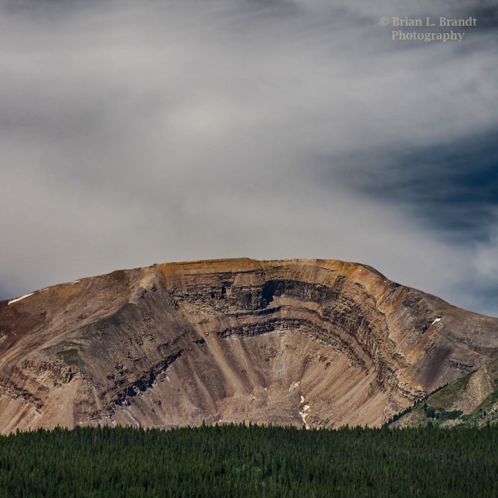
 Outside Loveland we saw a red mountain hillside that reminded us of the country we'd seen more than a week earlier near the top of Red Pass.
 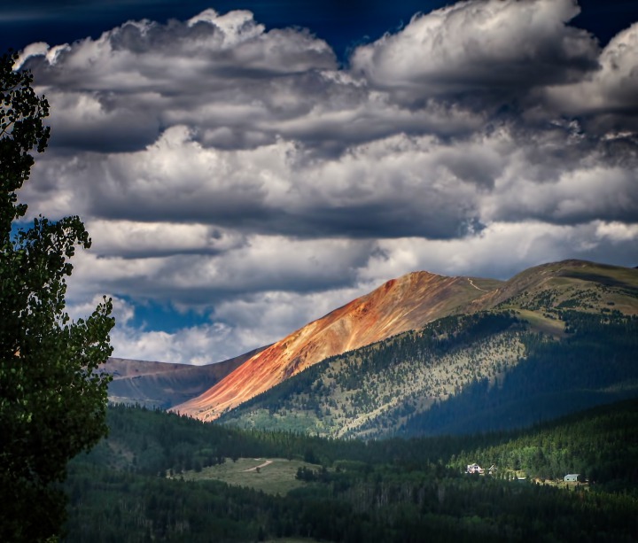 As we dropped down out of the mountains, we paused one last time in a small canyon just above Loveland for a quick break alongside a little mountain stream.
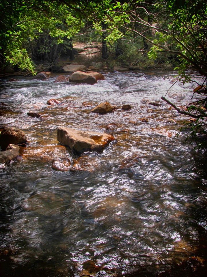 From there, we made an "end of the day" run to the La Quinta in Loveland. Text by Louise and Brian with photos by Brian. Copyright Goin Mobyle, LLC, 2010

Looking North up US HWY 285 Near the Como- and Boreas Pass Turnoff Junction

Ragged Cliffs Before Loveland CO

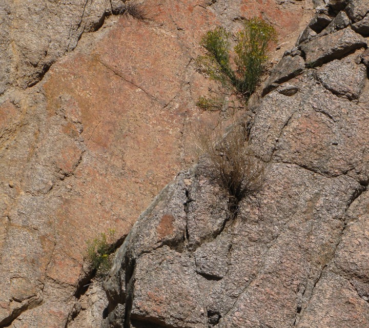
Tenacious Roadside Cliff Life

Red-Sided Mountain Before Loveland

Small Stream Before Loveland