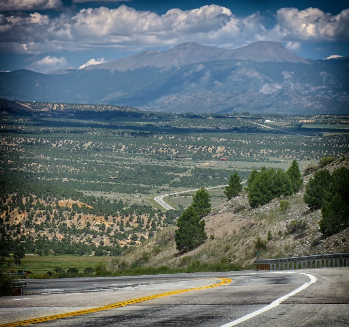
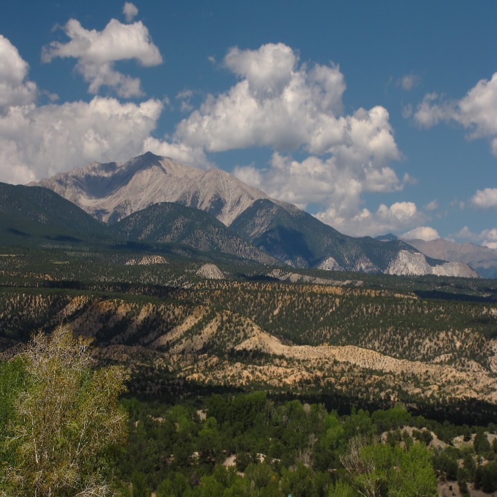
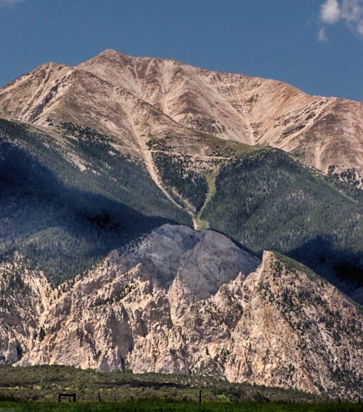
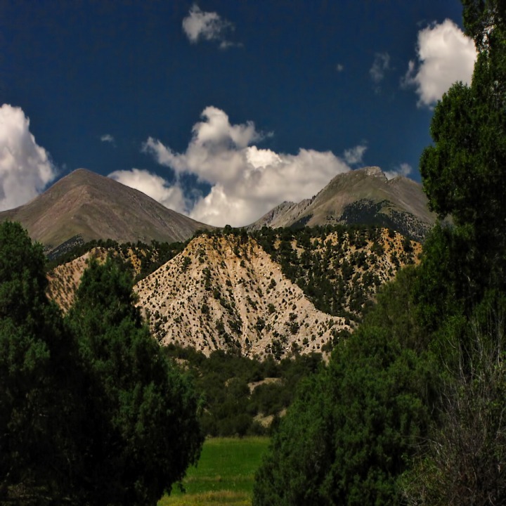
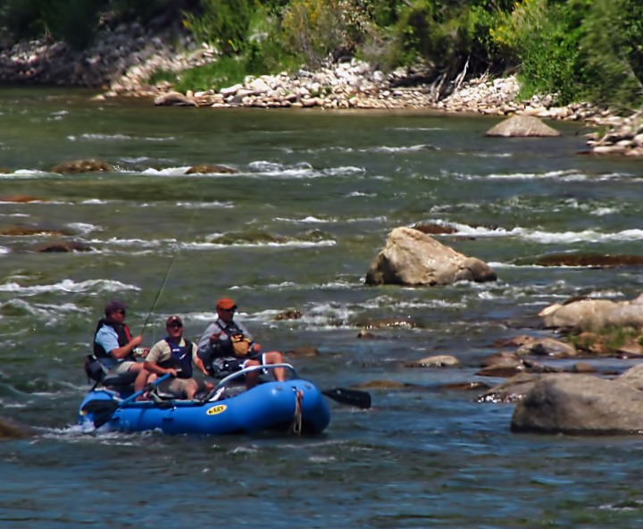
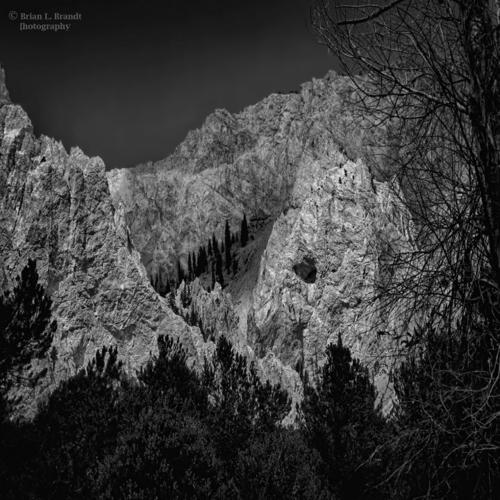
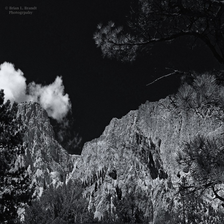
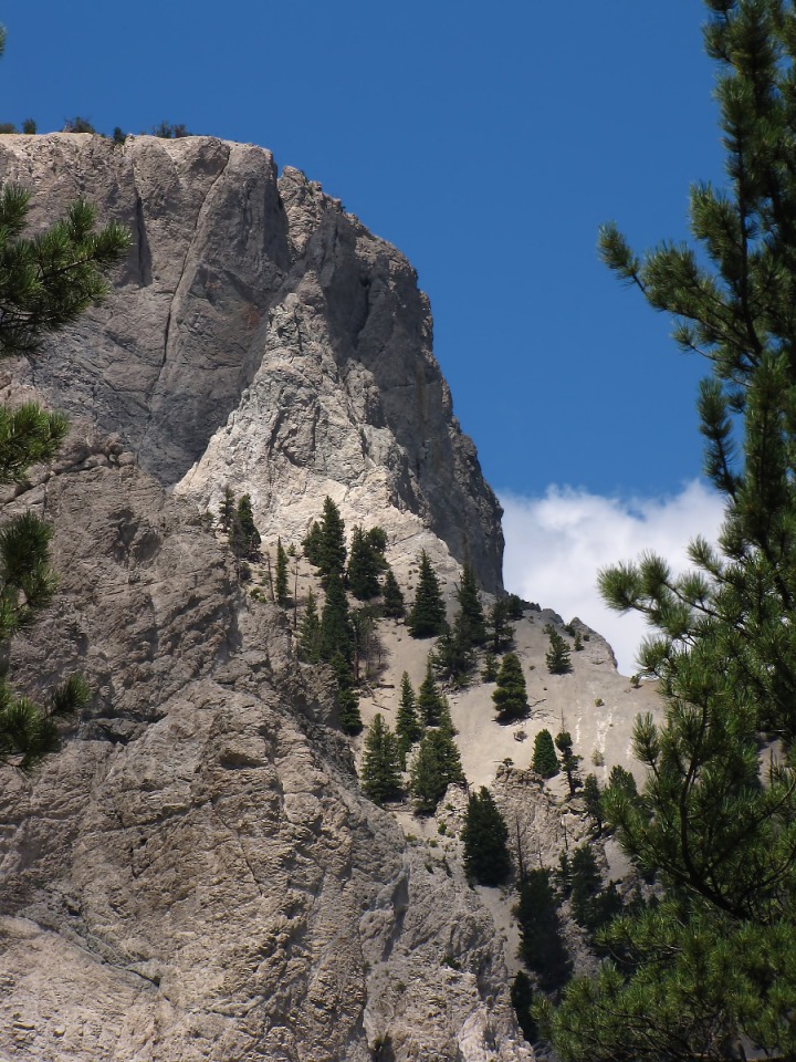
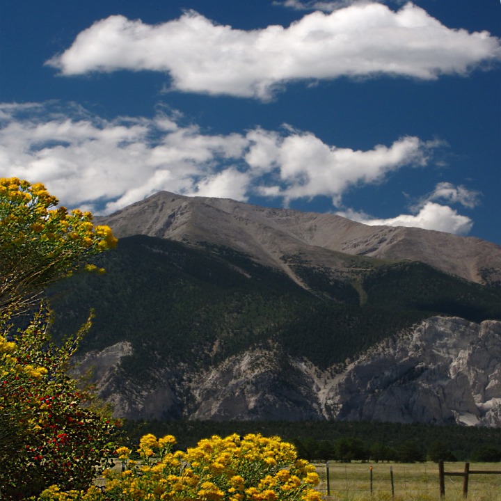
Day Twelve -- Driving North out of Salida, 16 August 2010: We decided to take an easy day after getting into Salida in the dark and pouring-down rain. So we just stayed in the area for the day -- wandering north up US HWY 285.We headed up into the Arkansas River Valley and toward the Sawatch Range on the left (west) side -- home of the Collegiate Peaks -- all of which are over 14,000 feet.The southern-most of the peaks is Mt Princeton, with its rugged chalk-cliff south flank.The foothills fronting the Sawatch Range are tertiary terrace gravel.Fishing the Arkansas River -- As we drove up the valley looking for a gravel road to explore over in the direction of the peaks, we saw a guide boat with fishermen plying the Arkansas River.The Rugged Slopes of Mt Princeton -- County Roads 280 and 270 led us toward the mountains and Mt Princeton Hot Springs. The chalky crags on the south slope of Mt Princeton contain kaolinite, a soft white clay mineral.We parked to take a look around, and we met a fellow graduate of Montana State University who had seen our MSU Bobcat license plate surround. He graduated in Film and TV back when MSU was Montana State College, and had spent his career working for a big network news organization. He played football for MSC and went to Camellia Bowl back in the day. We were almost the only two people on that road, so it was so fun to run into a fellow alum.
We looked up the flank of the peak as the sun kept playing back and forth across it from the fast-moving clouds.Then we headed back toward the mouth of Chalk Creek Canyon, still looking at the sides of the peak. Roadside Geology of Colorado by Halka Chrinoc and Felicie Williams describes this amazing and complex terrain. Don't travel Colorado without it!
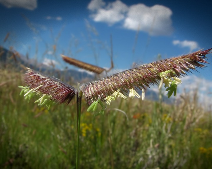
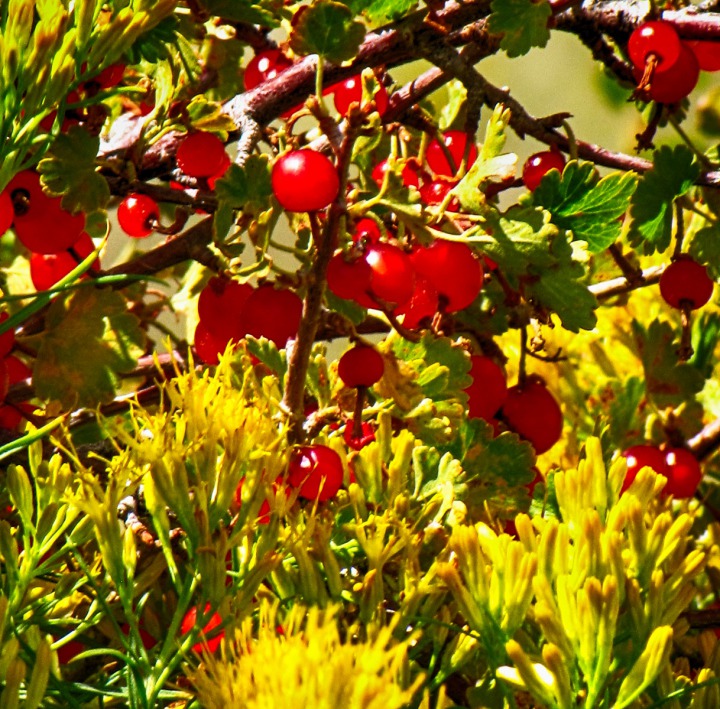
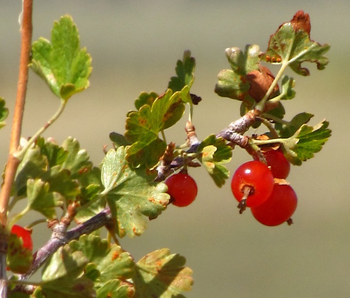
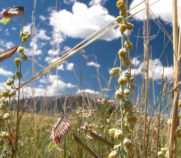
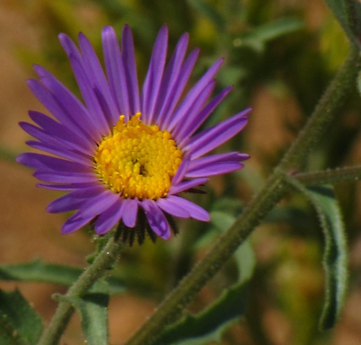
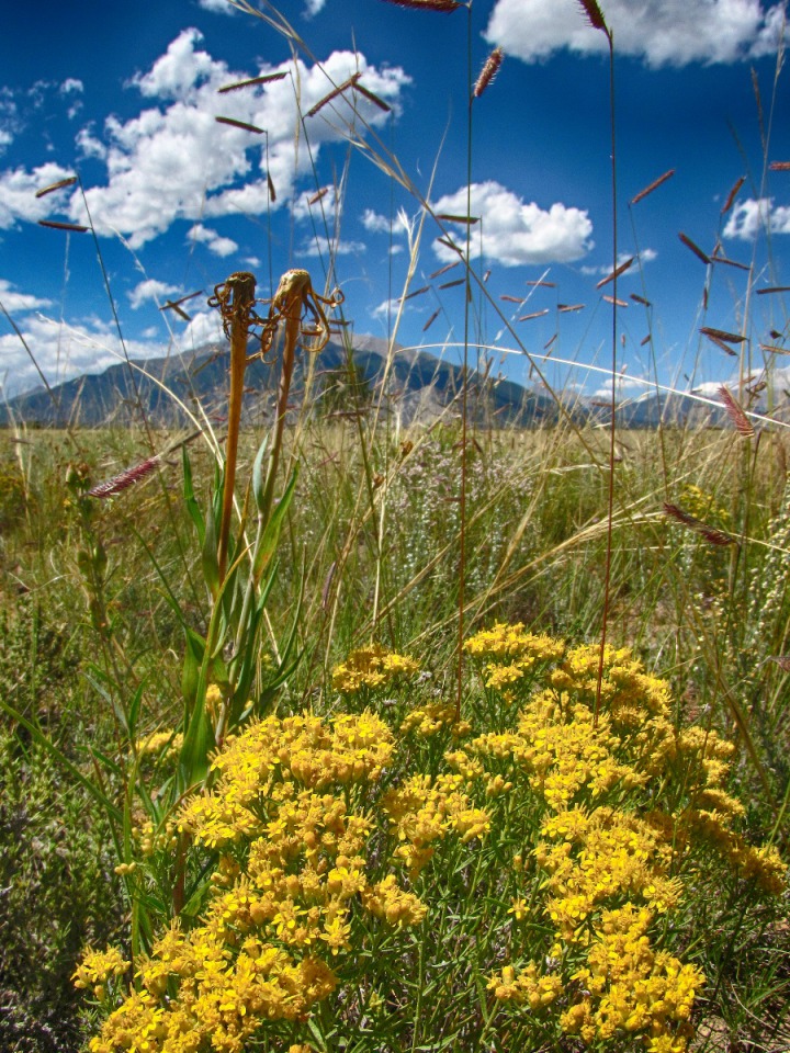
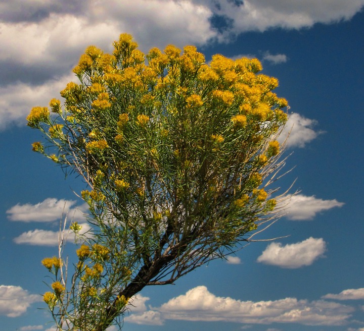
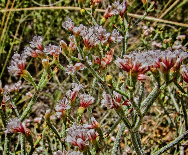
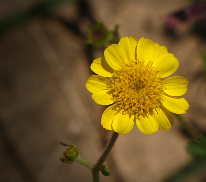
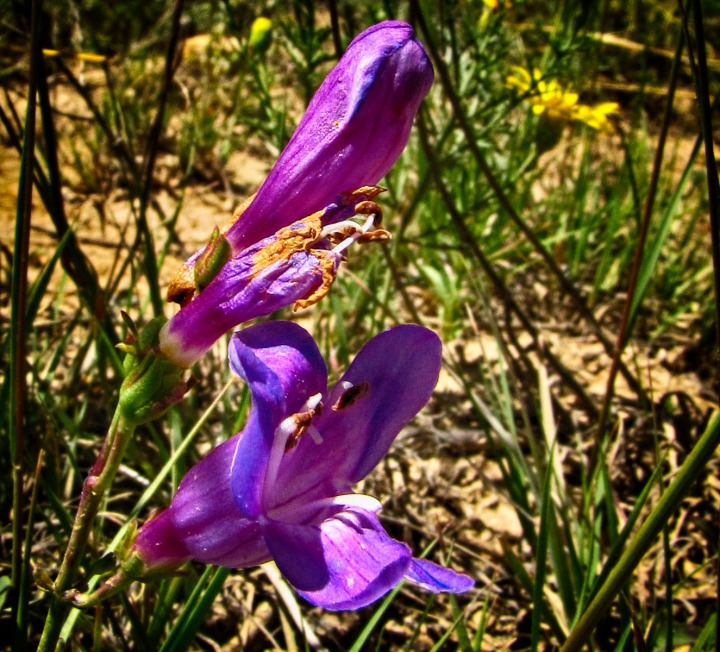
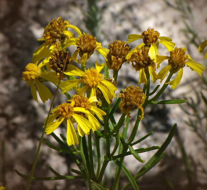
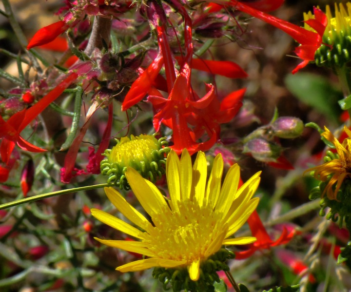
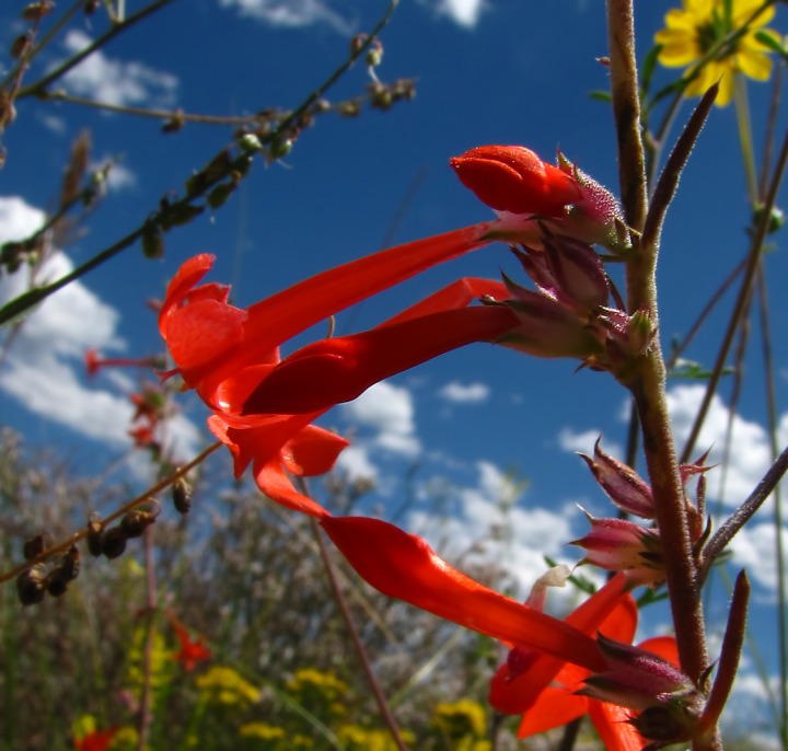
Flower-Covered Bench Land -- Then we drove across a wide flat between the mountains and the river valley. Because of the altitude, the wildflowers were still in full bloom, despite the lateness of the season. Even the grasses were in bloom. I used a wonderful website to identify these:
WILDFLOWERS, FERNS, & TREES of Colorado, New Mexico, Arizona, & Utah by Al Schneider
Any identification suggestions are welcome!
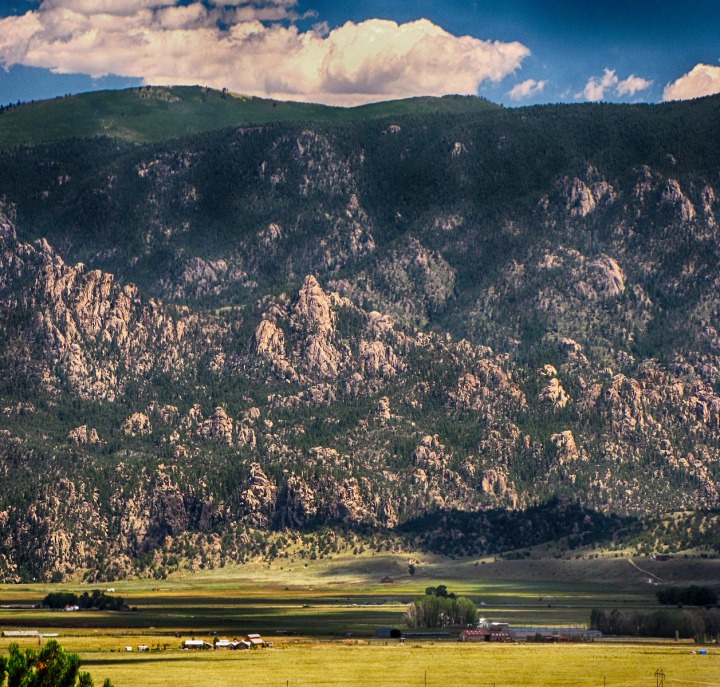
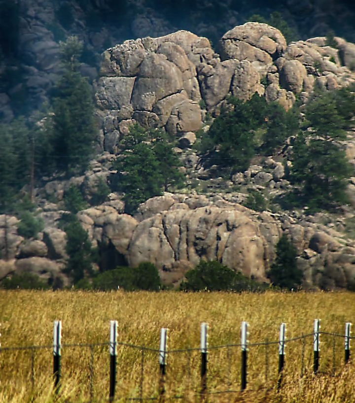
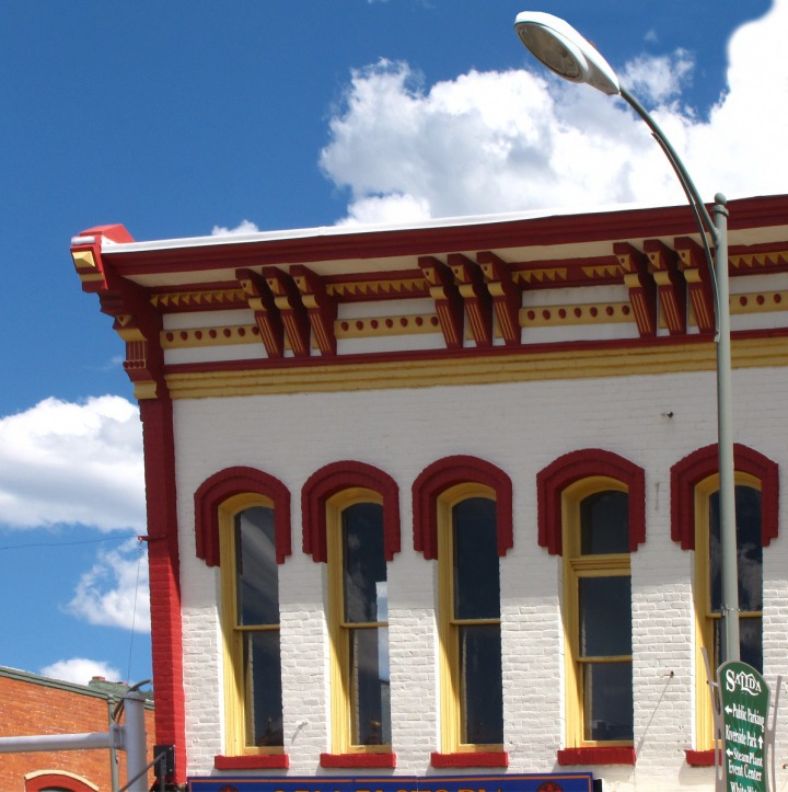
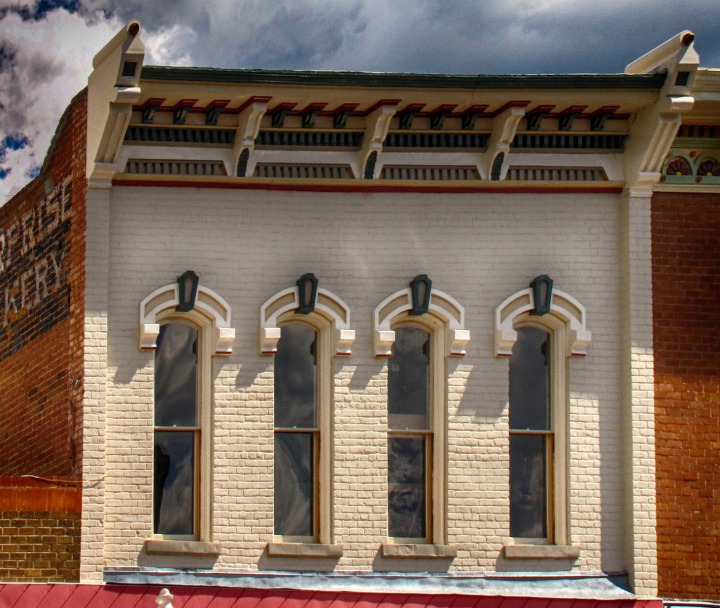
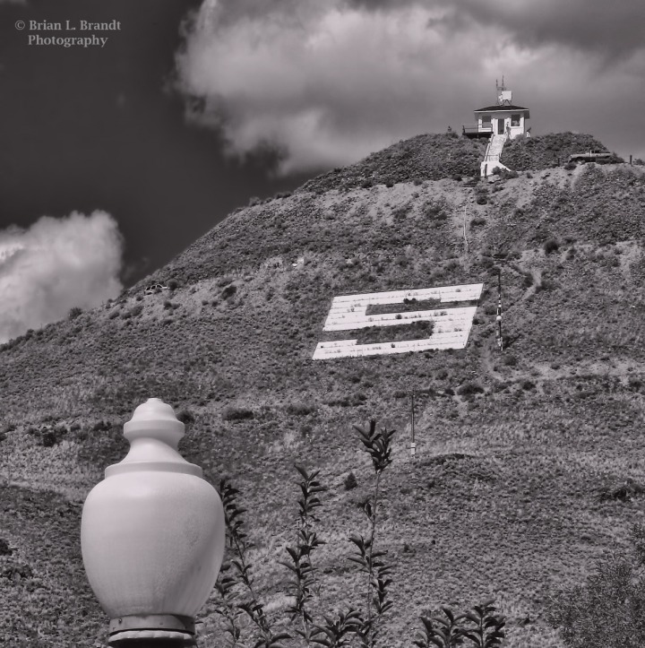
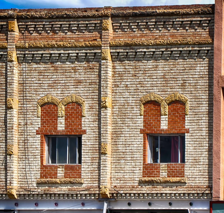
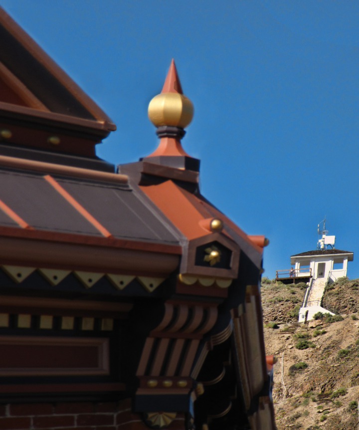
As we got closer to the valley floor, we could see just how rugged and boulder-strewn the east wall of the valley rose above the floor.Close up, the valley wall was a conglomeration of massive boulder piles.Back in Salida -- The town of Salida had done a very nice job preserving and dolling up some of the older buildings in the downtown core.Spiral Drive up Tenderfoot Mountain -- From the end of "F" street you look up at Tenderfoot Mountain, with its big white "S." Access is it from Spiral Drive, which can reached from near the hospital.Spiral Drive was built in 1922 by the Lions Club as a civic project. The ‘S’ on Tenderfoot Mountain was built by the Salida High School senior class in 1932.
Even where the windows have been updated windows from the drafty old single-pane leaded glass ones, it has been done with taste.Text by Brian and Louise. Pictures by Brian. Text and photos copyright Goin Mobyle, LLC, 2010.


