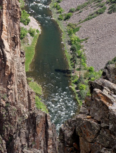
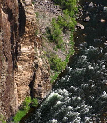
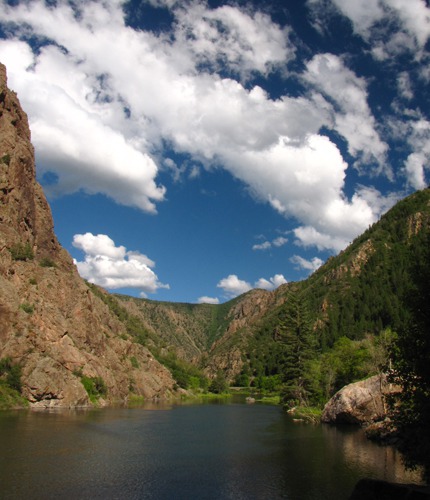
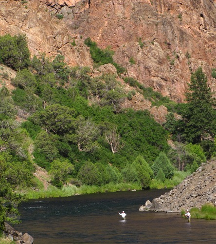
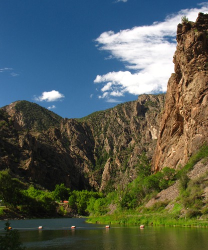
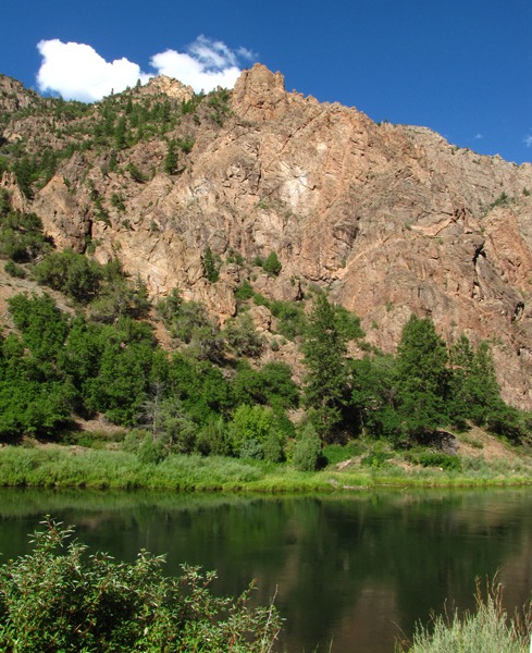
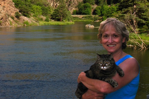
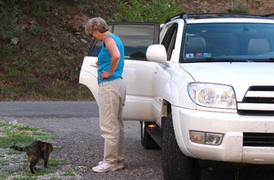
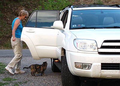
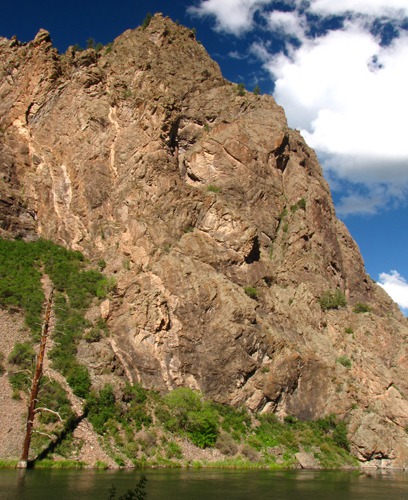
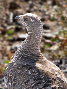
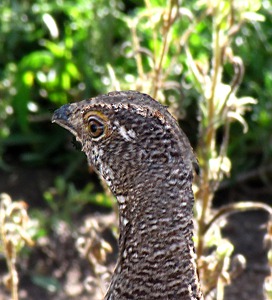
At the picnic area, the river is still fairly placid and looks like it could hold some big trout.Furry Purry Stretches -- Leesha emerged from her little purple house in the car for a little stretch in the shade of the campground. It was still a little hot for her liking, but she gamely went around the outhouse and sniffed it out -- one of her favorite spots in any campground. Then after she'd had a little stretch, she posed riverside.Soon after her pose, she decided the cool of the car was a better venue for someone with a fur coat, so she headed back to car and self-loaded, as she always did. Back to Montrose -- A last look at the river and we headed back to Montrose. As we topped the plateau after the long haul up out of the canyon bottom, we flushed a road-side blue grouse which moved aside and then tried out (unsuccessfully) camouflage along the side of the road.We drove back to Montrose and got Furry Purry some wet kitty food, and she settled on the end of the bed for a nap after a tough day on the canyon rim. We did a little research and found a great restaurant - the Stone House where we had a very nice dinner before calling it a night.


Day Four -- The Black Canyon South Rim, 8 August 2010: We spent the night in Montrose CO so we'd have a full day to explore the Black Canyon without having to drag gear morning and evening. Furry Purry went out for a little cat walk around the motel -- she loved motel smells and sights and sounds -- then we ate breakfast, loaded Furry Purry and headed to the South Rim. The drive to the South Rim is short and pretty -- a long climb on CO HWY 347 to the plateau that forms the edge of the South Rim.
We arrived in summer heat, so we took turns hiking and staying behind to keep the car running or the windows down so Furry Purry wouldn't get overheated. We didn't want to leave her in the room by herself all day, and she's quite happy in her little purple house with wet and dry kitty food, water, and lots of on-board attention while we travel.
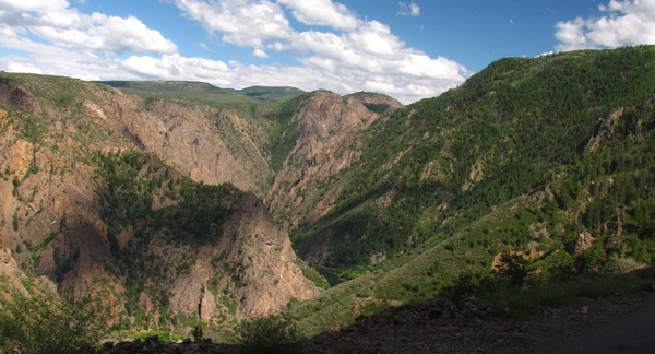
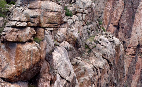
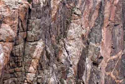
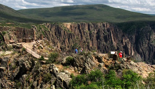
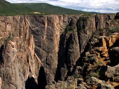
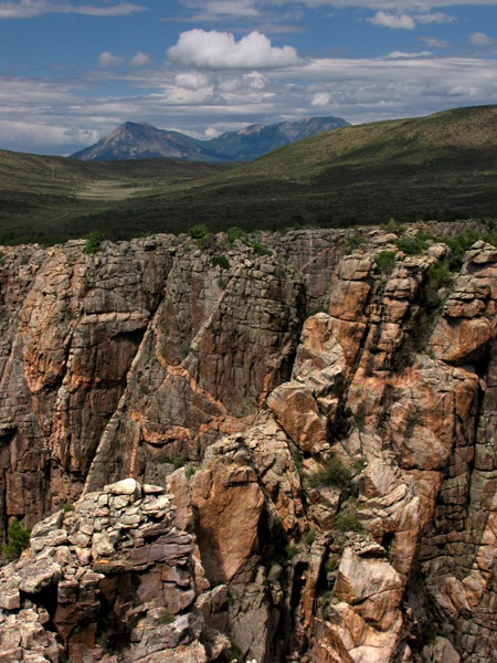
One of the first views you see is near the Visitor's Center, and you could almost spend a whole day right there, there is so much texture and dimension to the canyon just at that one point.
Crystal Dam, just beyond the far curves in the river that you can see, marks the edge of the Park and the beginning of the Curecanti National Recreation Area.
There's a road to the bottom of the canyon that takes off right after the gate into the park; we craned our necks and decided we would tackle that on our way out of the park.
A Bozeman Connection -- While I was in the parking lot of the Visitor's Center keeping Furry Purry cool and providing her company, a guy with a Winnebago (or the generic equivalent) commented on my "MSU Bobcats" license plate surround. Turns out he was the father of the former wrestling coach in our hometown of Bozeman -- a wrestling coach recently departed for Utah and a higher-paying job. Amazing who you run into in random moments. We talked sports for quite a while, and Louise returned from the Visitor's Center characteristically laden with maps and books on flora, fauna, and geology.
Our delightful talker was a Detroit native who joined the Air Force and retired at Malmstrom Air Force Base in Great Falls, MT. So he and Louise had the Air Force conversation -- where were you stationed, what planes did you work on, etc. The common ground these AF folks find is amazing -- it's a tight family. He liked Great Falls so much he stayed there after retirement -- no more Detroit for him! Now he and his wife are snowbirds; he snapped up a great house in Phoenix at a rock-bottom price.
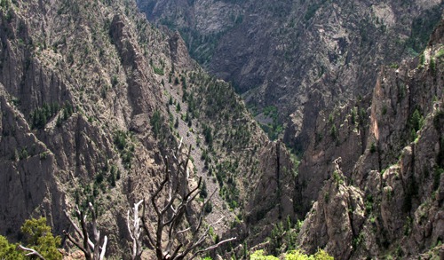
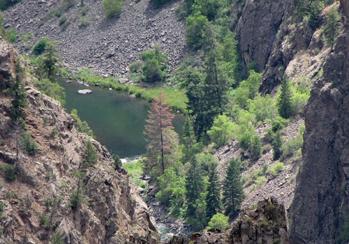
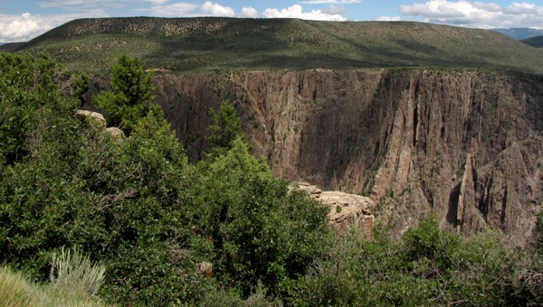
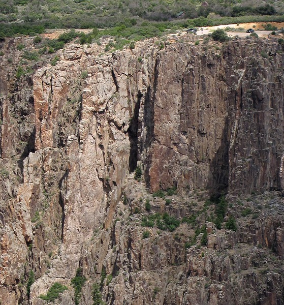
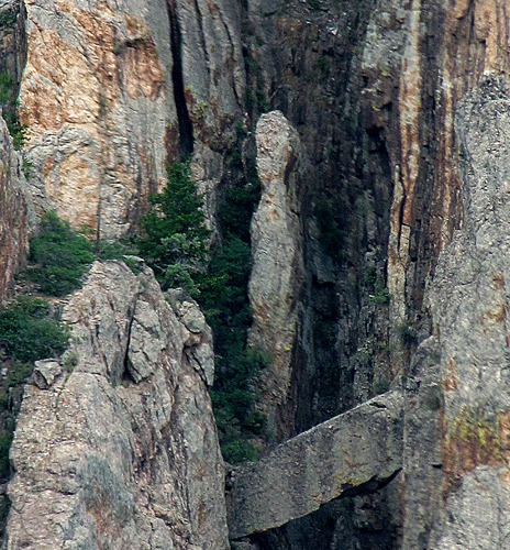
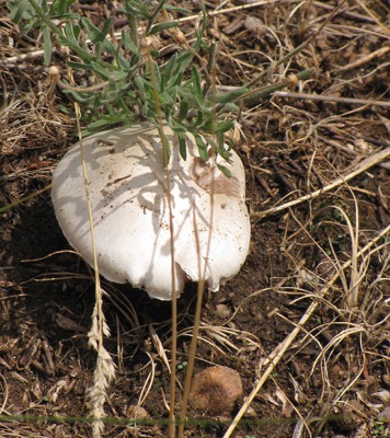
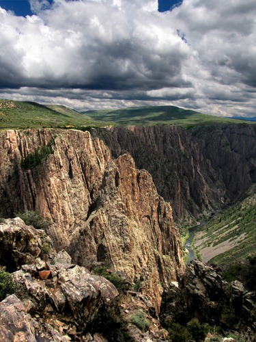
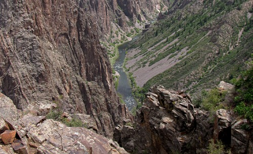
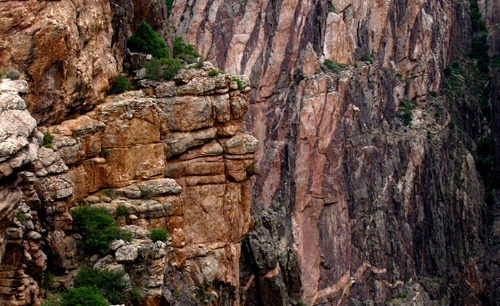
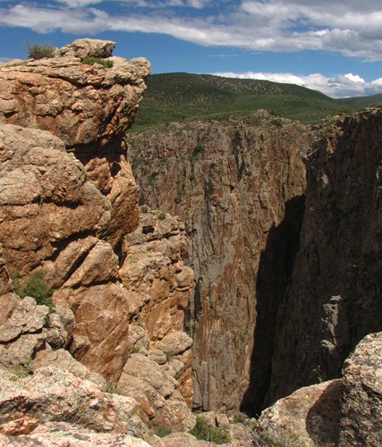
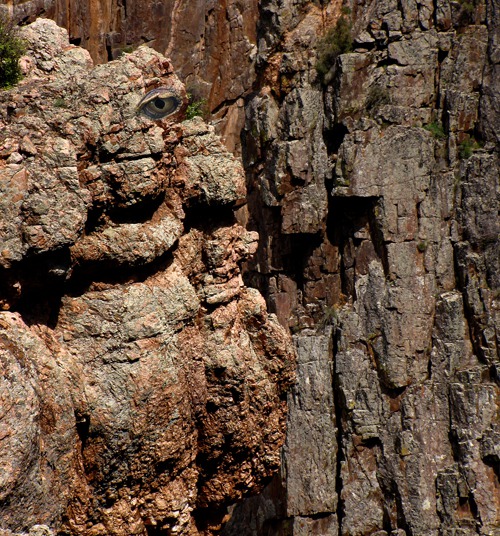
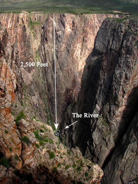
The Canyon From the South Edge -- As you looked over the edge you could see a wide, lazy spot in the otherwise very busy river. It almost looked like a lake half hidden by the canyon walls.In the canyon, geologic forces had taken entire canyon layers and tipped them on edge, so what was once horizon became starkly vertical.Across the canyon, you can see the other half of the plateau that was cleft in twain by the river.You can easily see parking lots on the north rim where we'd been the day before -- the canyon is only 1500 feet wide for most its length. From the following view of the parking lot, however, you can only see about one third of the canyon's depth.As we slowly surveyed the north rim from our overlook near the Visitor's Center, we spied a stone man on a stone bridge across from us.No telling how long he'd been standing there. Across the canyon, stone gnomes stood watch.In the middle of what was basically high desert, we spotted a mushroom right next to the trail. Unexpected, odd, tenacious fungi.The next stop was the overlook for Pulpit Rock, a massive spire that stands more or less alone in the canyon -- supported by a wide base at the bottom but free-standing up on top. The size of it is hard to comprehend because the scale of everything is so huge. The river, which is probably 80 feet wide, is a tiny ribbon 2500 feet down.
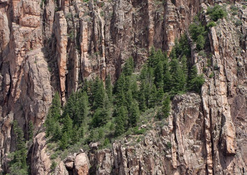
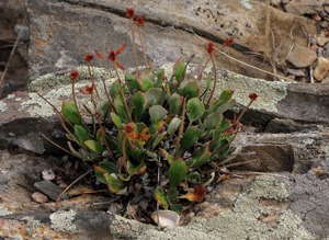
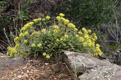
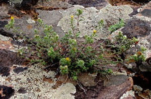
We continued to marvel at how vegetation had extracted a living out of the smallest foothold on the canyon walls. This slope seemed lusher than the north rim -- not as steep and supporting more plants.Along the trail to the overlook there was also a lot of spots where something had made a home in what appeared to be almost solid rock.
Harrowing Tale of Engineer Pass -- I was fascinated by that plant and the spot it had found. A woman and her mother came up to marvel at it as well. We started talking -- they were from Texas, and had been in Colorado a number of times. She told us just what a tough country it was; she and her husband had quite the adventure over Engineer Pass (12,780 feet high!) between Lake City and Silverton. They were on one of those roads that shows on the map, but barely on the ground. They had to fold in the mirrors on their truck to get past the outcrops on one side with enough room to avoid a 500-foot plummet on the other side.
Finally the woman couldn't bear it any longer and got out and trotted along holding onto the bumper of the truck for miles until they got to safer ground. She said she cried and screamed and was scared to death, but here they were back for more!
They couldn't bear the thought of returning to their campsite on the other end that night, so they ended up sleeping in one of those old hotels in Silverton -- they said the mattress was probably from the late 1800's as well, and they hardly slept. In the hotel bar, they earned the admiration of the locals for their trek over that pass. Seems even the local don't try that one!
The next day they got up and drove the longer highway loop back to their campsite where they slept most of the afternoon away.
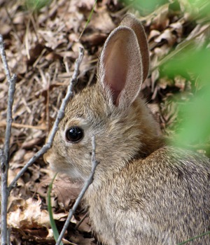
Funny Bunny and Plants -- As we bade them safe travels and headed up the trail to the car to re-cool it for Furry Purry, Louise spotted a movement in the brush near the trail. It turned out to be a funny bunny -- a little mountain cottontail with a stem of grass in his mouth.There was more vegetation along that trail that had toughed it out enough to grow and bloom.
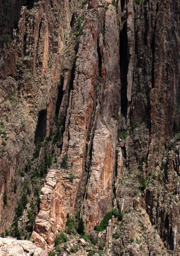
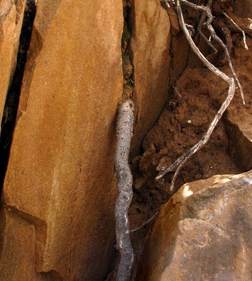
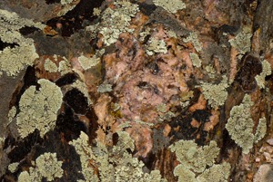
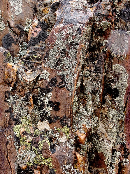
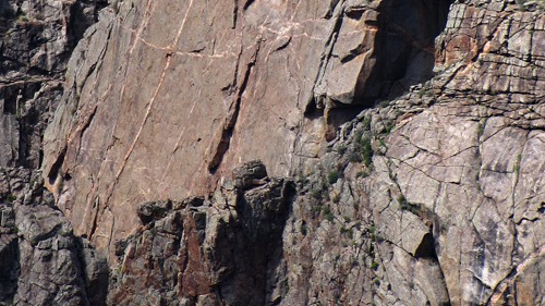
In places, the plants had busted up the rock to gain a foothold. In nature's version of rock, paper, scissors, root beats rock.You didn't have to hang out over the 2,500 foot drop to get interesting views of the area -- a lot of texture and color was right at trailside, almost all of it passed by unnoticed as people raced by it to peer into the abyss -- in a nice encapsulation of a lot of lives in general.In many cases, the texture and color in the small rocks near the trail to the overlook mimicked the massive color and textures of places in the canyon like The Painted Wall -- capturing in feet what the canyon captured in thousands of feet.Canyon Views -- We loaded up and drove to the next overlook. There are a series of them along the South Rim, each with a slightly different perspective of the canyon. We stopped at the overlook across from Painted Wall. We'd been right beside the Wall yesterday and now got to see it "head on." And when you looked at it through the viewfinder, it was an interesting blend of the near formations set against Painted Wall in such a way that the 1,500 feet between them collapsed.The overlooks were scattered along the canyon, all requiring a short hike out. But it was too hot for Furry Purry to walk, which at that altitude was probably just fine with her. The overlooks were well-situated for great views, which were also fairly easy to come by.Devil's Lookout --
On we drove to Devil's Lookout. Not sure why they called it that, but for my money, if I had one lookout to look over, the Devil's Lookout would be where I'd head. There was a very wide range of different views from that point. One of the first things you see is a poodle, not what you'd expect at a spot called Devil's Lookout.
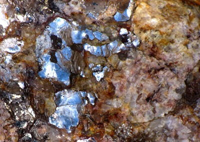
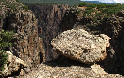
The other thing you can't help but notice on the way out to the overlook is the blazing mica in the low sun. Sheets of it were everywhere in the rocks.Of course, there are guardians at the rim, but don't expect much action out of them.
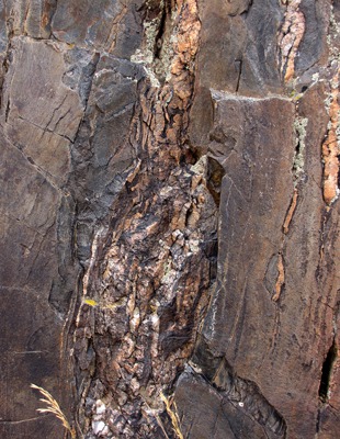
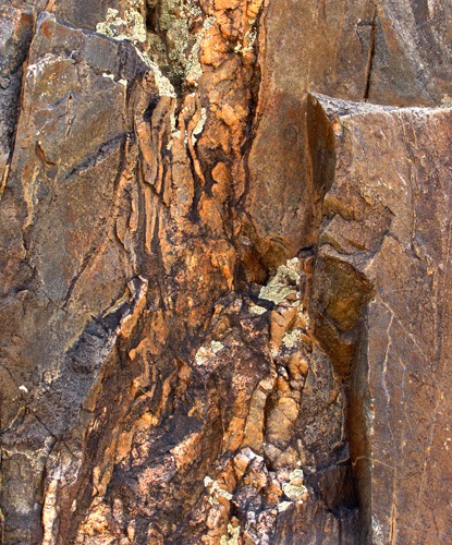
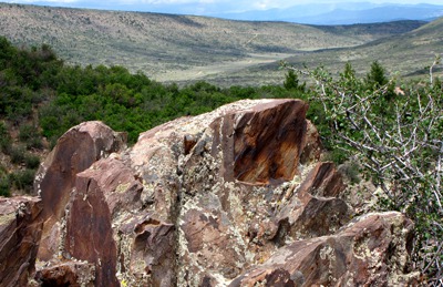
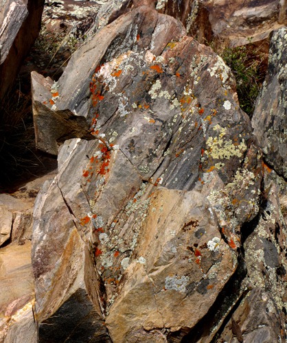
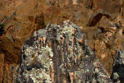
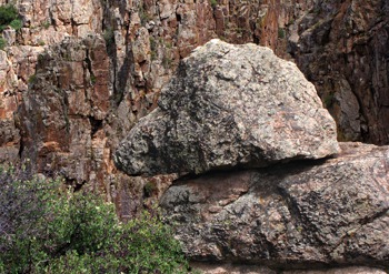
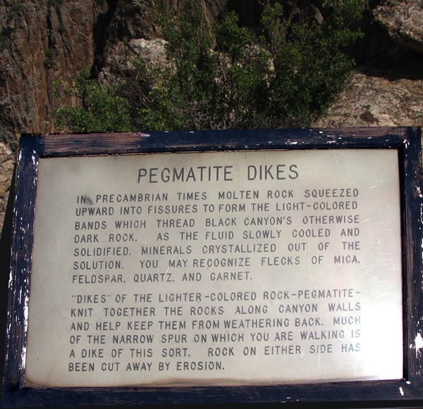
Pegmatite Dikes -- On the other side of the knife ridge that leads out to the overlook are probably text-book pegmatite dikes. No, I didn't know what they were either. But I found out by reading the following sign.{media_1138]
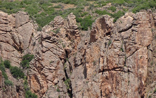
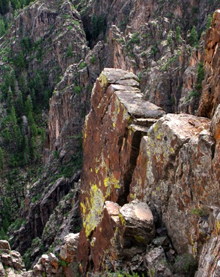
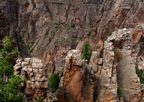
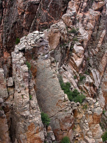
So I took a potpourri of pegmatite dike photos, and as it turns out, they are pretty darn photogenic.
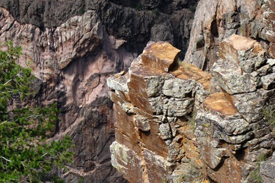
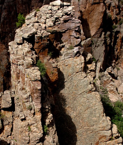
What struck me was not only the sculpturesque nature of them and the way the light played around on them as clouds came and went, but also the precarious nature of all the assembled cast in the little play -- including the scattered rock caps they wore on their heads. They were all acting as though they might take it into their minds to plummet into the canyon bottom at any given moment. That left me wondering about the sanity of floating the river or hiking in the canyon below -- I think I'd have an escape route picked out under a serious overhang for about every twenty feet of travel.
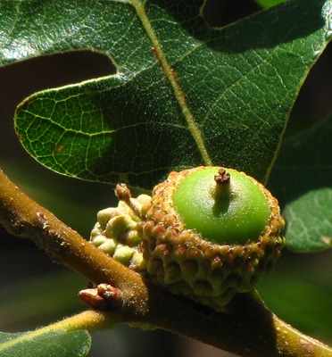
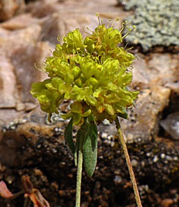
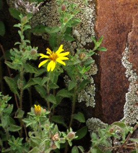
Gorge View -- The next overlook we visited was Gorge View -- one of the spots where you could really grasp the depth and scale of the canyon.One of the predominant plants along the canyon rim is Gambrel's Oak, and on the way back to the car, I saw a very sporty little acorn. There were a few tenacious flowers as well.
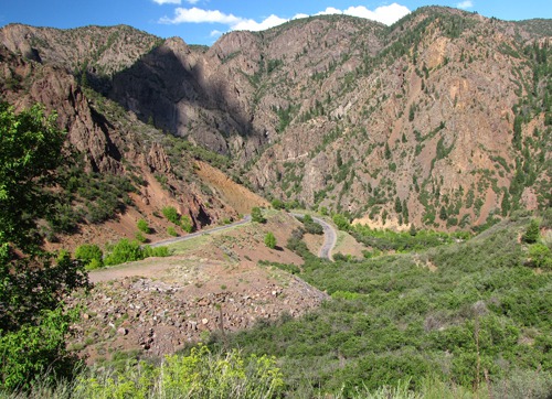
As I got back to the car, a nice German couple and their kids were headed to the overlook, so Louise and I went back out for a few minutes since it was very close to the car, and I offered to take a family photo for them, since otherwise, there's always one left out of the shot. They returned the favor.East Portal Road -- We loaded back up, gave Furry Purry some more dry kitty food and checked her water, and then headed for Portal Road down to the bottom of the canyon. There are signs telling you it's a winding road, but it's way windy. A camper on a truck with a V-8 could make it back out of there, but they don't let RV's in there at all -- you have to sell them for parts to get them out. At one spot (where there was no place to pull over for a photo) you could see the road loop back on itself five or six times.
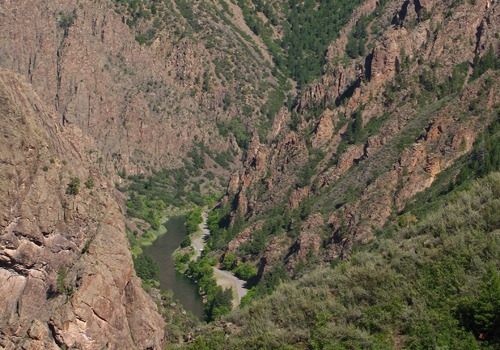
Eventually we got to a point where we could see the road along the river far below. Not a place to try to go in a hurry.At the Bottom -- Once you get to the bottom, you get the treat of not only seeing the beauty of the river itself, but get to look back up at stuff you've been looking down on all day, for a completely new perspective of the canyon.
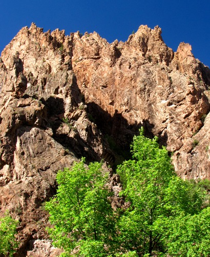
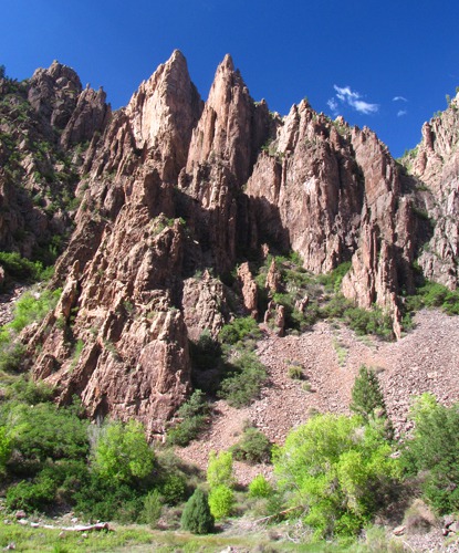
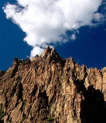
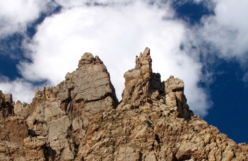
With all the water available in the bottom, it was a completely different ecosystem, as one would expect. Trees flourished and provided shade, although the temperature was still in the mid-80's at 4:00 pm.The spires on the canyon wall were beautiful in the gathering evening sun as we drove along the road upstream to the dam.
Downstream from the little picnic area there is a lovely, shaded, National Park campground. Watch for falling rock.Kayaking the Gorge -- In theory, you can put a kayak in here and run the gorge. It's a "Class Vee" with up to a 360-foot-per-mile drop. I think it's a "class V - (five out of five -- if you are a kayaker, apparently you use Roman Numerals) only because that's as high as the ratings go. It's for experts only, and even they get killed going through there. Between the suction holes around the huge boulders in the river, the ubiquitous poison ivy, and the potential for 100-ton boulders careening down from the top, I may let that one go.
American Whitewater shares my conclusions -- and they should know!
"The gorge has produced some of the healthiest poison ivy on the planet. Most of the drops are boulder-style and of the highest quality, at least the ones that are runnable. But many rapids in the canyon completely sieve out and require strenuous portaging. In 1997, Chuck Kern, a world-class paddler drowned in an unseen undercut while attempting to run part of the section that's commonly portaged. Luckily, most of the portages are no-brainers; it's either a sweet drop or certain death.
The Narrows is where some of the best class V drops can be found. Be sure to note the 1500-foot vertical walls that extend out of the water on both sides. Don't get hurt here! The last treat of the Narrows is the 18-footer. A totally calm pool spills through a perfect U-shaped spout. Boot left through the center spout with left angle, and keep your nose up. The landing is deeper than it appears, but no need to take a chance.
Now for the 3-hour, mile-long portage over rocks the size of VW Beetles.
Later some more boogie water leads to a calm pool backed up by the end of the earth. There is no mistaking this thing ... ever gotten vertigo in a boat before? There looks to be a possible line down to the right, but this is usually a portage. If you are thinking of running this thing, scout on river right, but first look up and try to figure out how your buddies are going to get your broken body out of there."
Brian and Louise with photographs by Brian. Text and Photos Copyright 2010 by GoinMobyle, LLC
© 2025 Goin’ Mobyle: Louise Engelstad & Brian Brandt. All rights reserved.
Website design by JTech Communications© 2025 Goin’ Mobyle: Louise Engelstad & Brian Brandt. All rights reserved.
